 10 days
Ten Days with the Migration
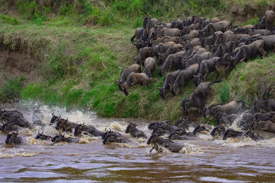
Ten days shaped around where the herds actually are, ending in the northern Serengeti for the river crossings, with a balloon flight over the plains.
Migration & Wildlife
Chapter one — Northern Tanzania
Serengeti, Ngorongoro, Kilimanjaro. Not the whole story.
Explore Northern TanzaniaVolcanoes and a rift valley made this landscape. Rain crosses it twice a year, grass follows the rain, and something over a million animals follow the grass. Everything famous about northern Tanzania is a consequence of that.
Northern Tanzania, in perspective
Rift escarpment
The shape of it
The rift's western wall is the line the region is organised around. Natron lies at its foot in the north, Manyara at its foot in the south, and the crater highlands stand behind it. West of the wall the land opens out and becomes the Serengeti. East of it, past Arusha, the ground rises once into Kilimanjaro and then falls away toward the coast at Mkomazi.
Six hundred metres at the Natron flats. Five thousand eight hundred and ninety-five at Uhuru Peak. Under two hundred kilometres between them.
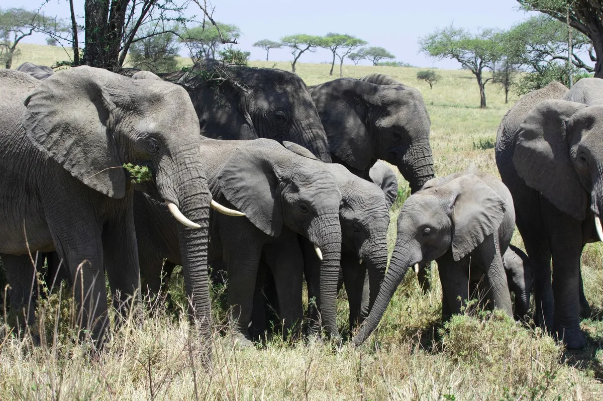
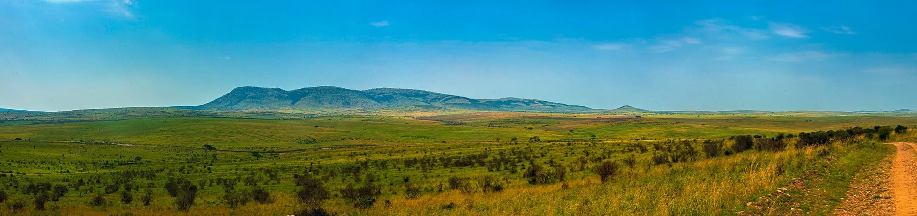
01Serengeti — a system, not a place
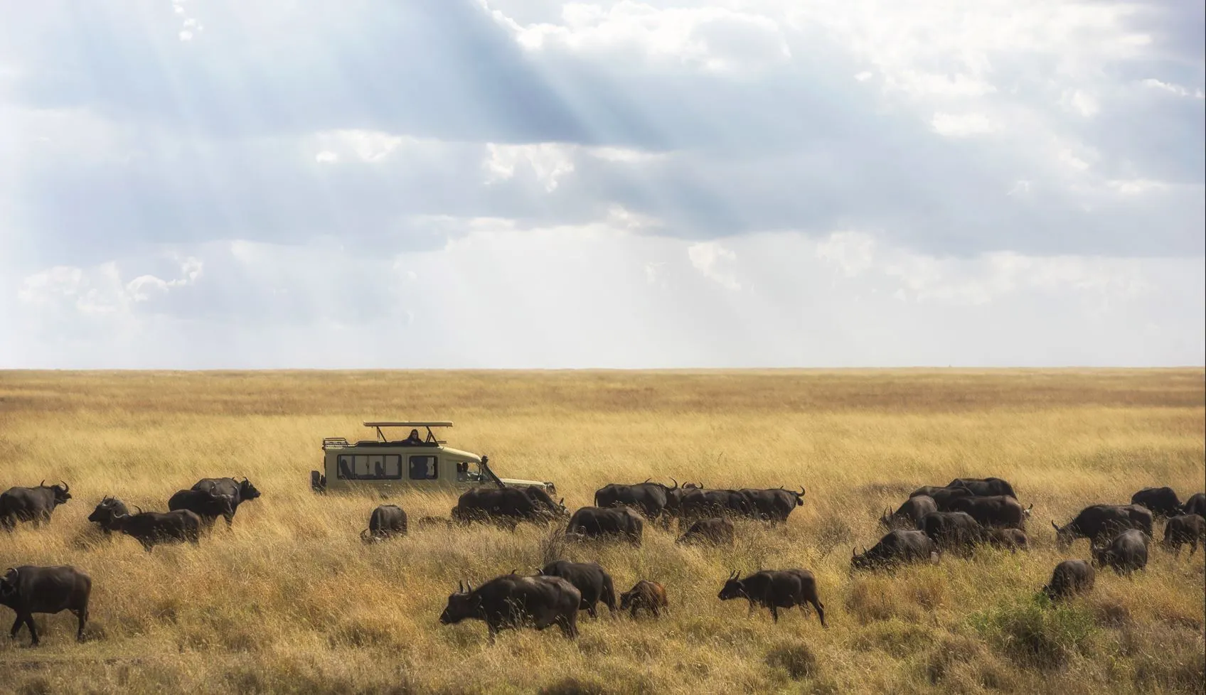
The Serengeti is not one place you visit but a system you intercept. Where the herds are in any given week decides where you sleep, and that is a decision made a fortnight out, not a year ahead.
December to March
Short-grass plains in the south-east. Calving country, and the flattest horizons in the park.
May to July
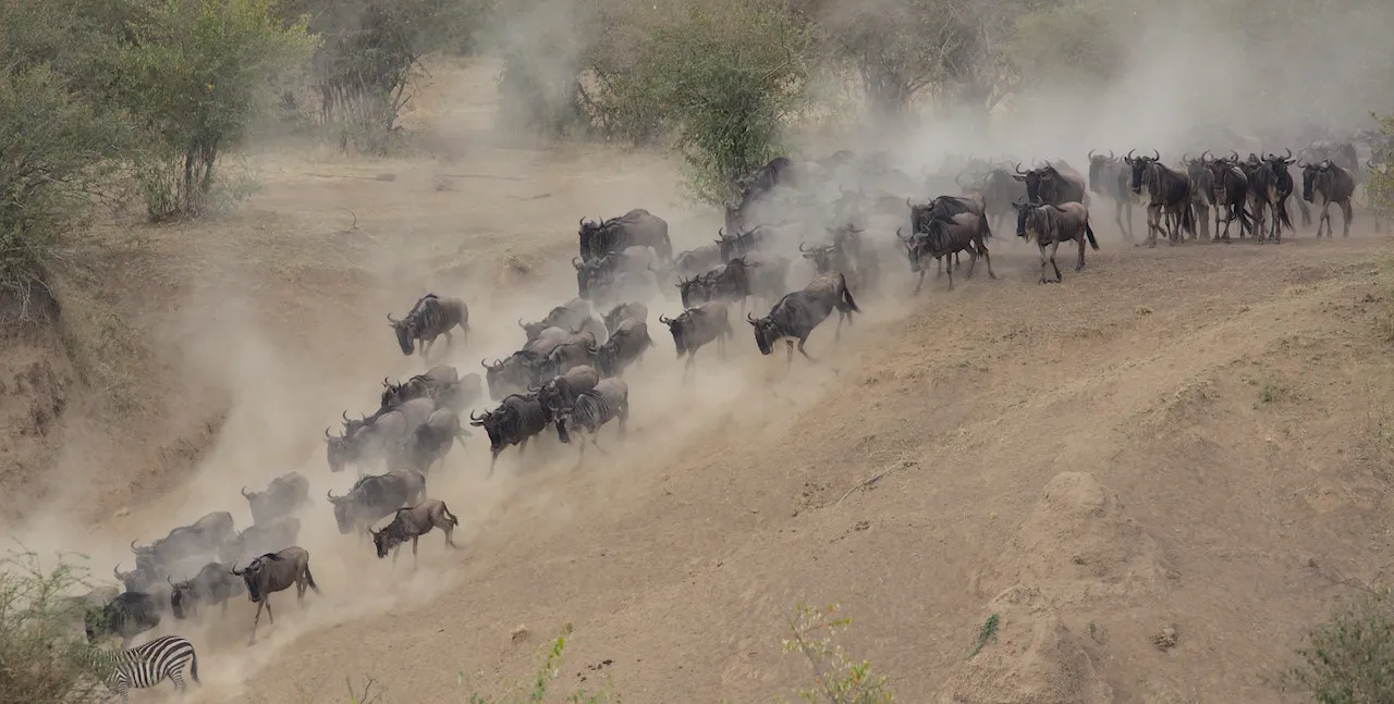
The move north-west through the corridor. Long columns, heavy dust, fewer vehicles.
July to September
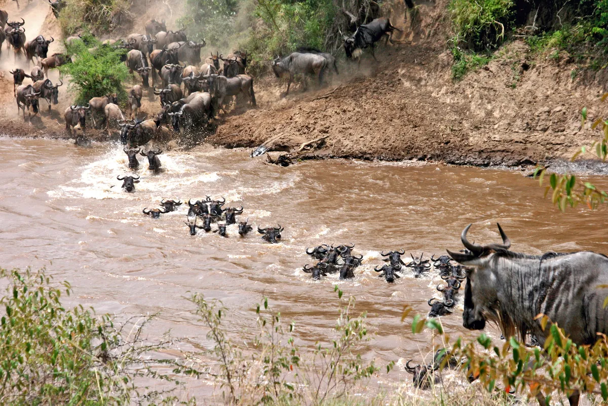
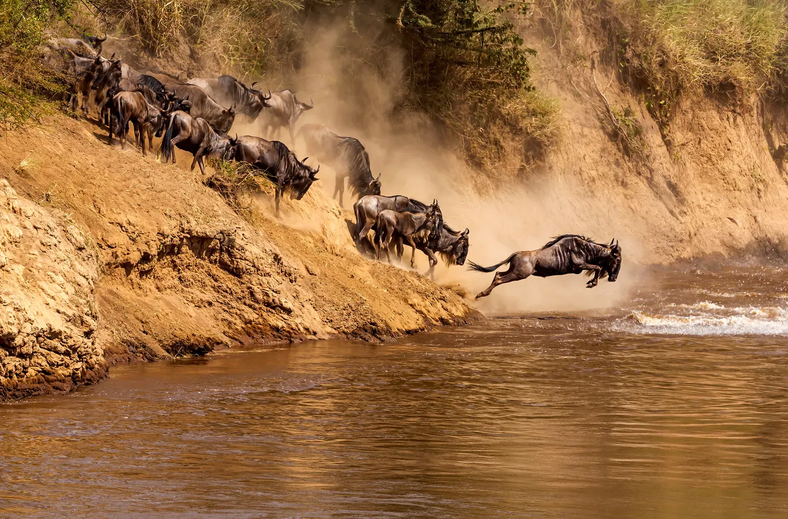
The Mara River. Crossings are weather-driven; nobody can promise you a date.
02Ngorongoro — geology first
You do not arrive at Ngorongoro so much as look down into it. The caldera fell in on itself around two and a half million years ago and left a floor with its own weather, its own water and a resident population that mostly stays put.
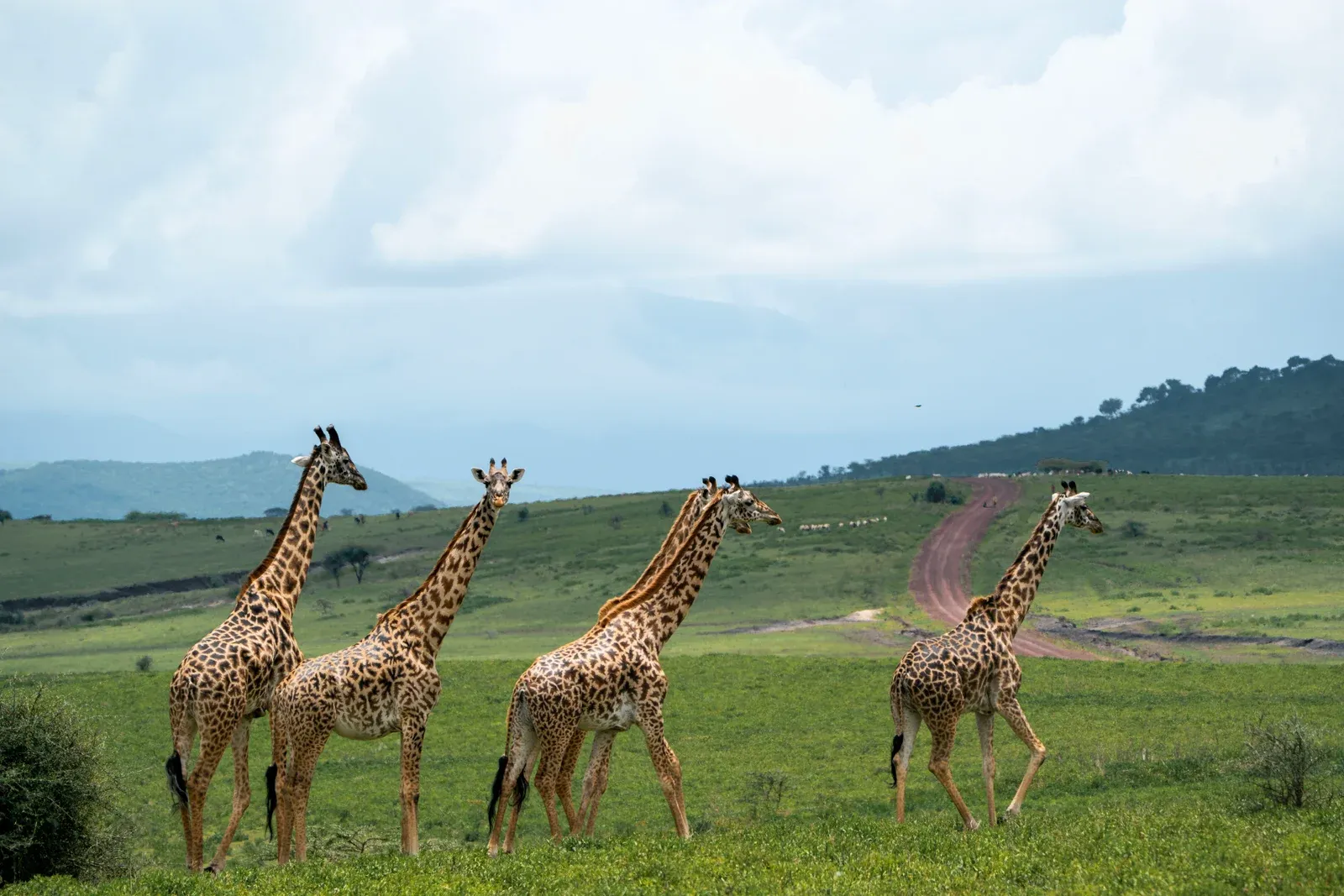
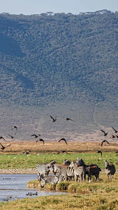
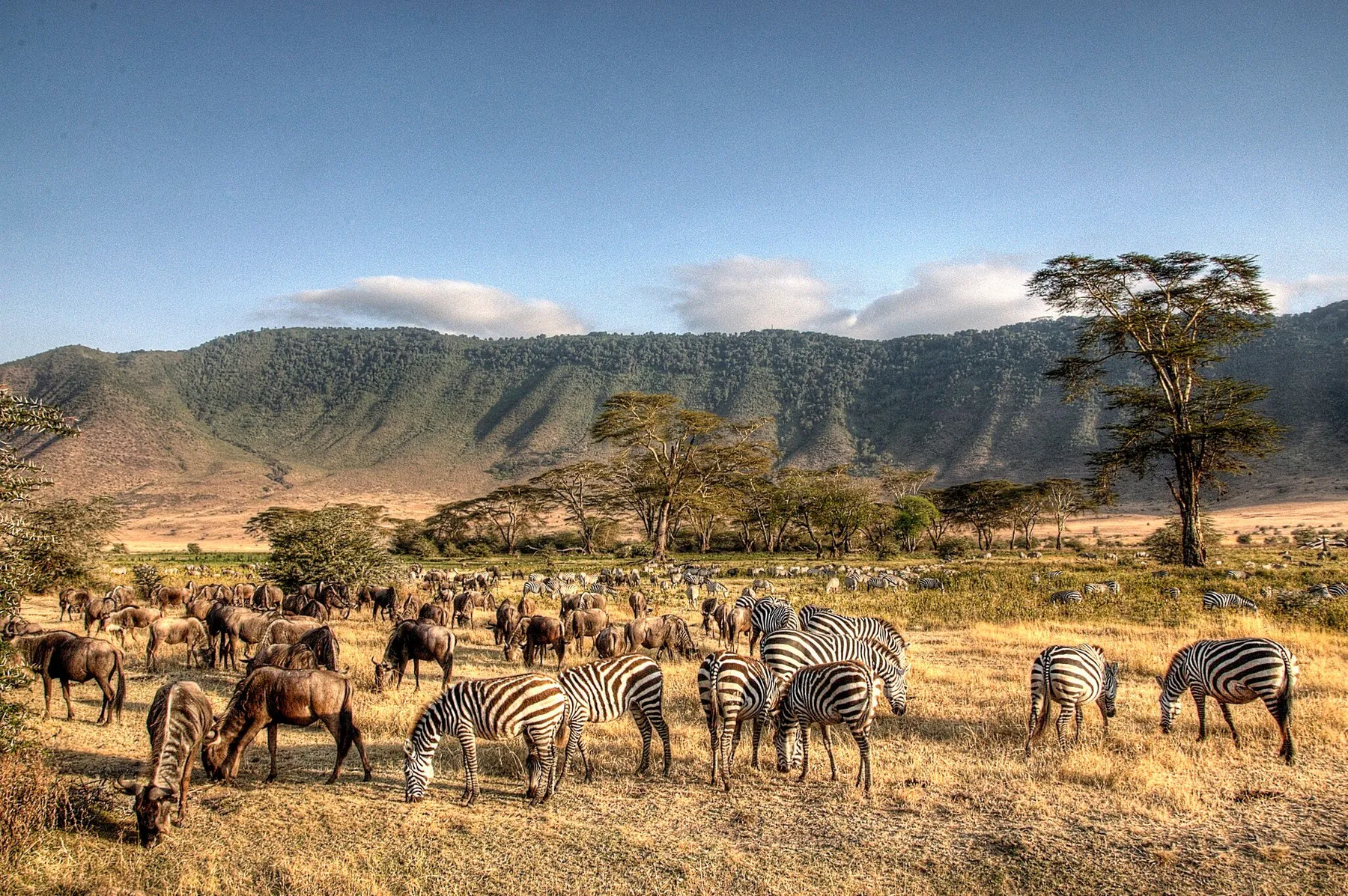
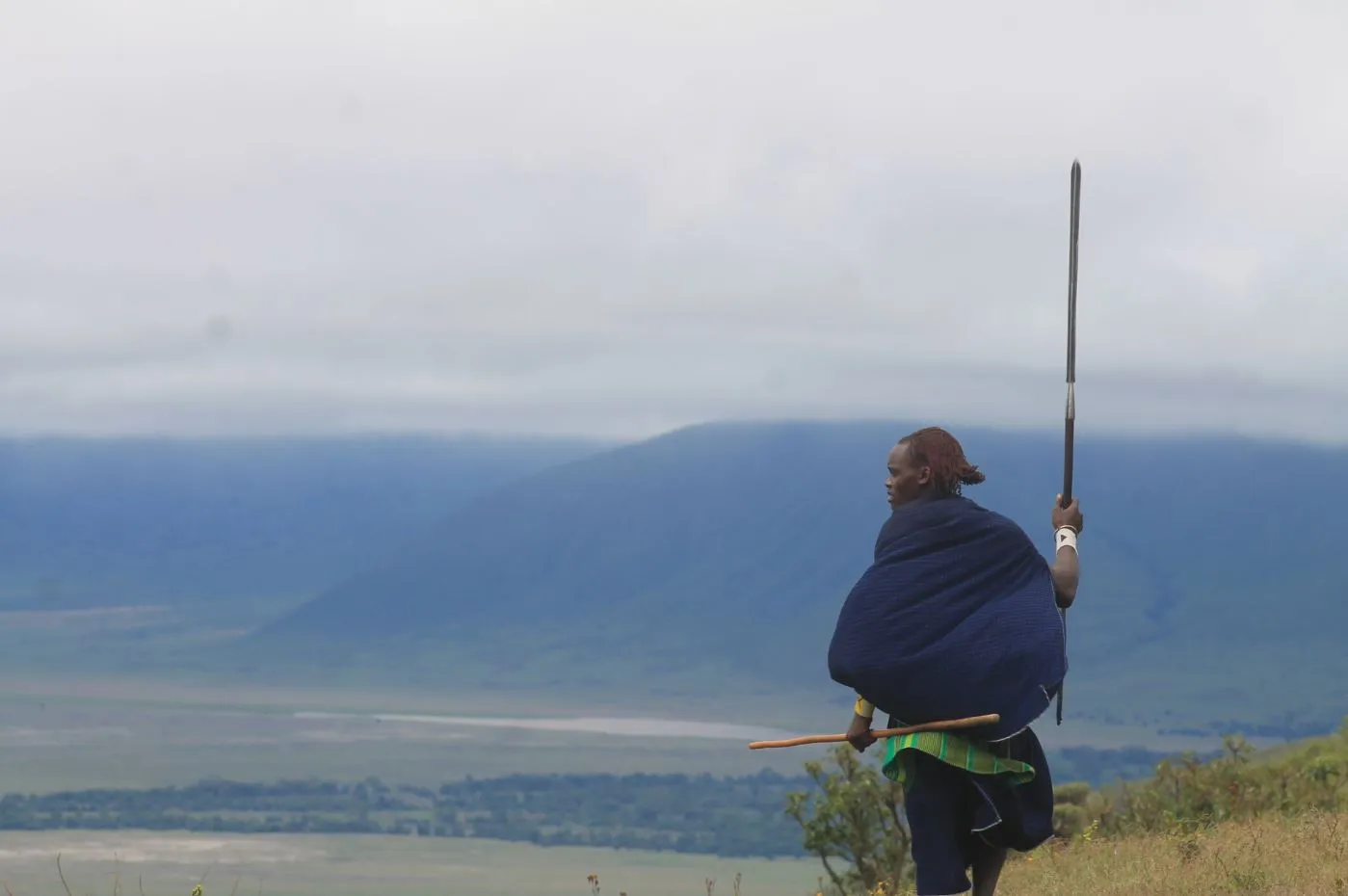
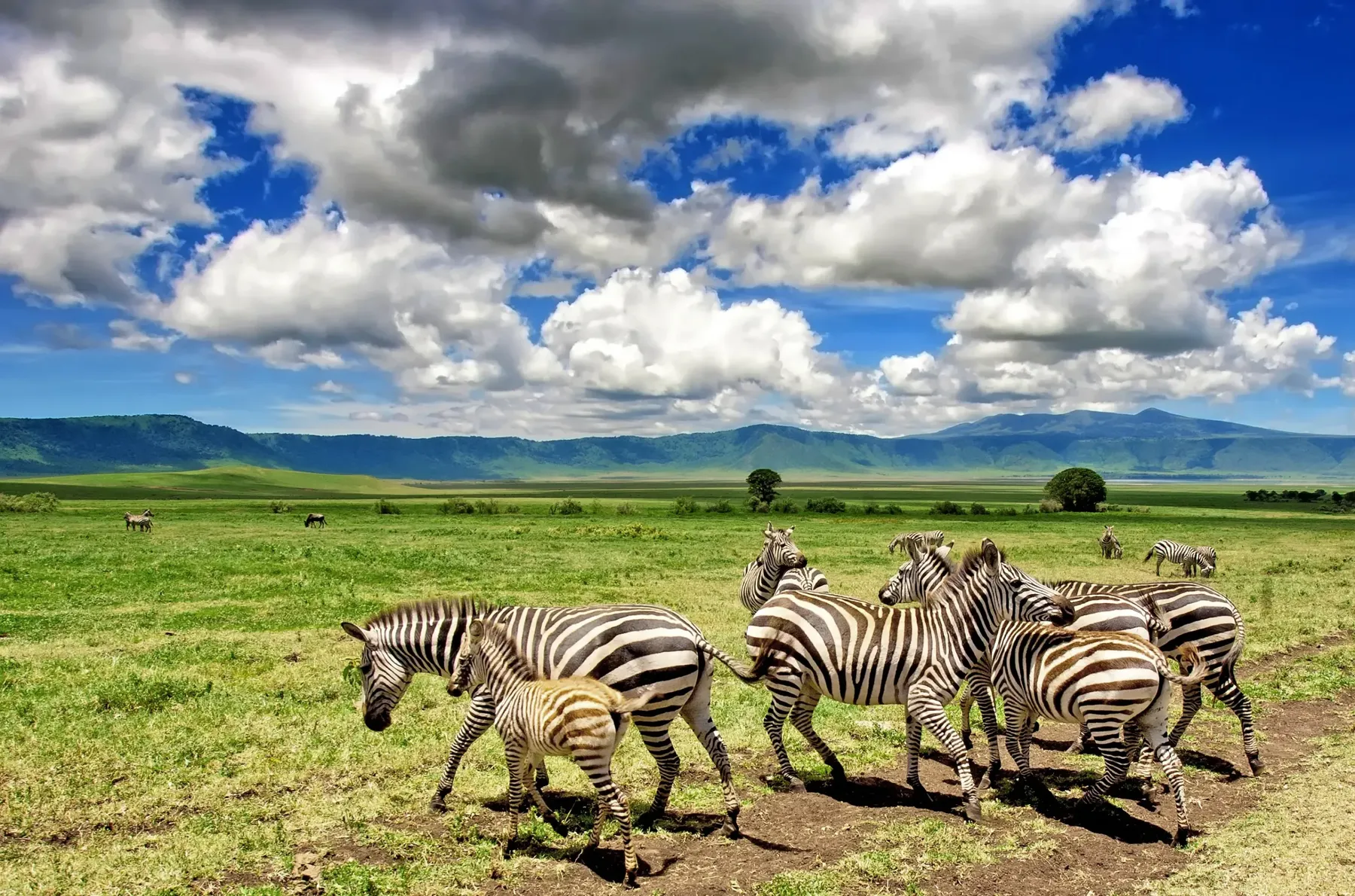
Ngorongoro is not a national park. It is a conservation area, and the only protected landscape in Tanzania where grazing, settlement and wildlife are held on the same ground by law rather than separated from each other. What that arrangement should look like is argued over continuously, and by the people who live in it.
03Natron — the caustic end of the rift
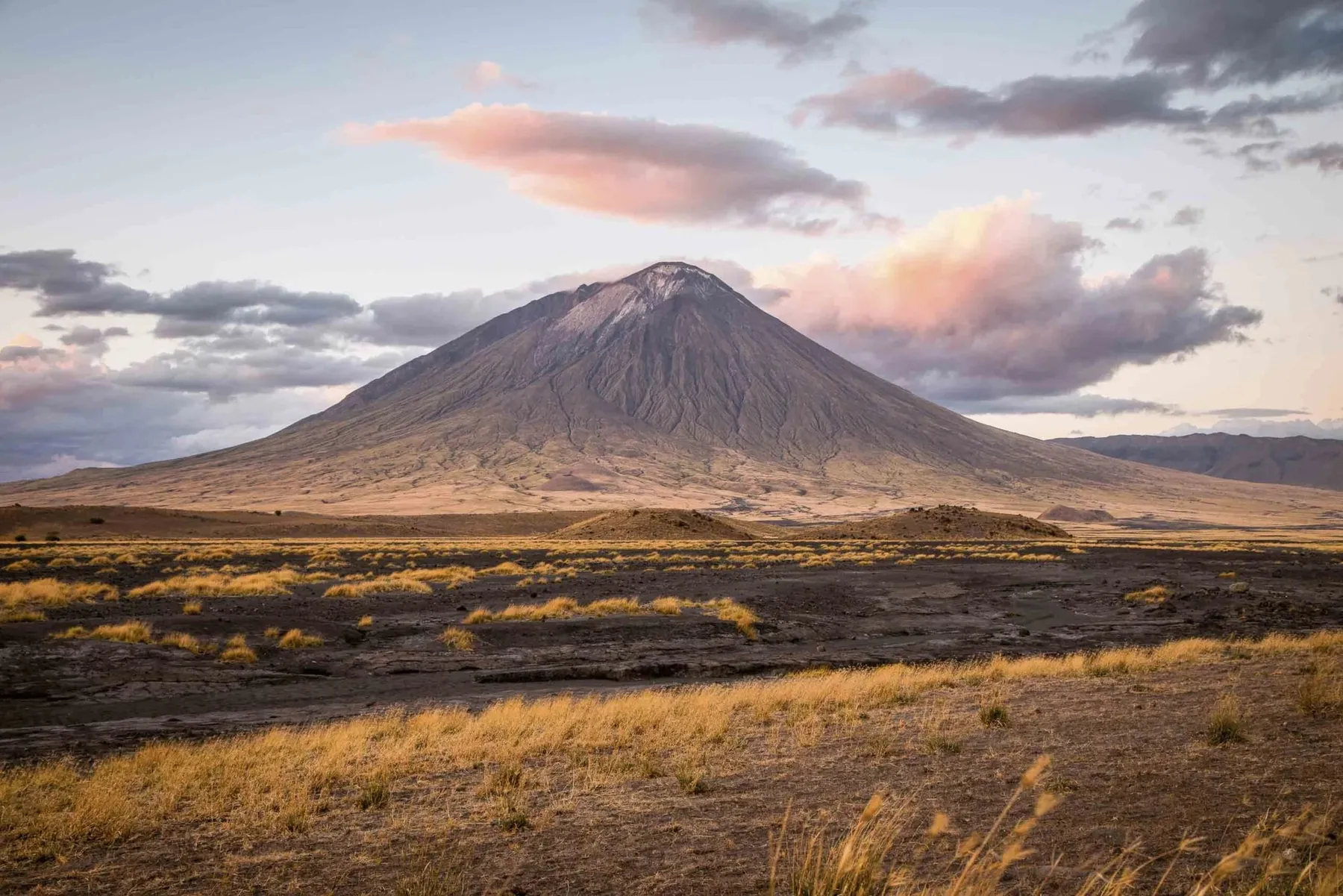
Ol Doinyo Lengai is the only volcano anywhere still erupting natrocarbonatite — a sodium-rich lava that leaves the vent at around half the temperature of ordinary basalt. It runs almost like water, reads black rather than orange in daylight, and turns chalk white within a day or two of stopping.
The lake below it is what that chemistry does to standing water. Ash and hot springs load it with sodium carbonate until it reaches a pH closer to ammonia than to seawater, and shallow water sitting on a black crust can climb past 40 °C. Almost nothing lives in it. That is exactly why East Africa's lesser flamingos nest there and nowhere else — the water that keeps everything else off the flats keeps their eggs safe.
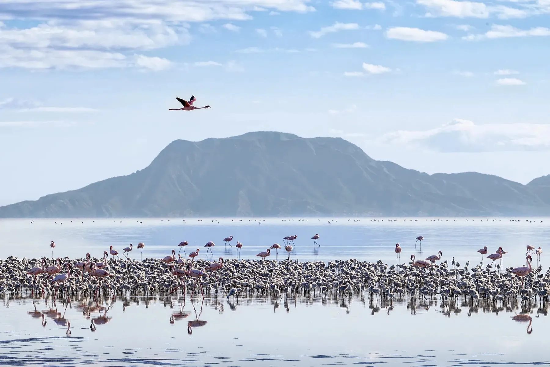
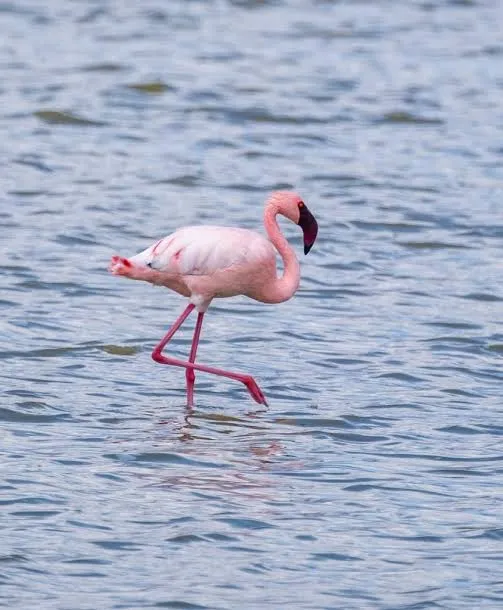
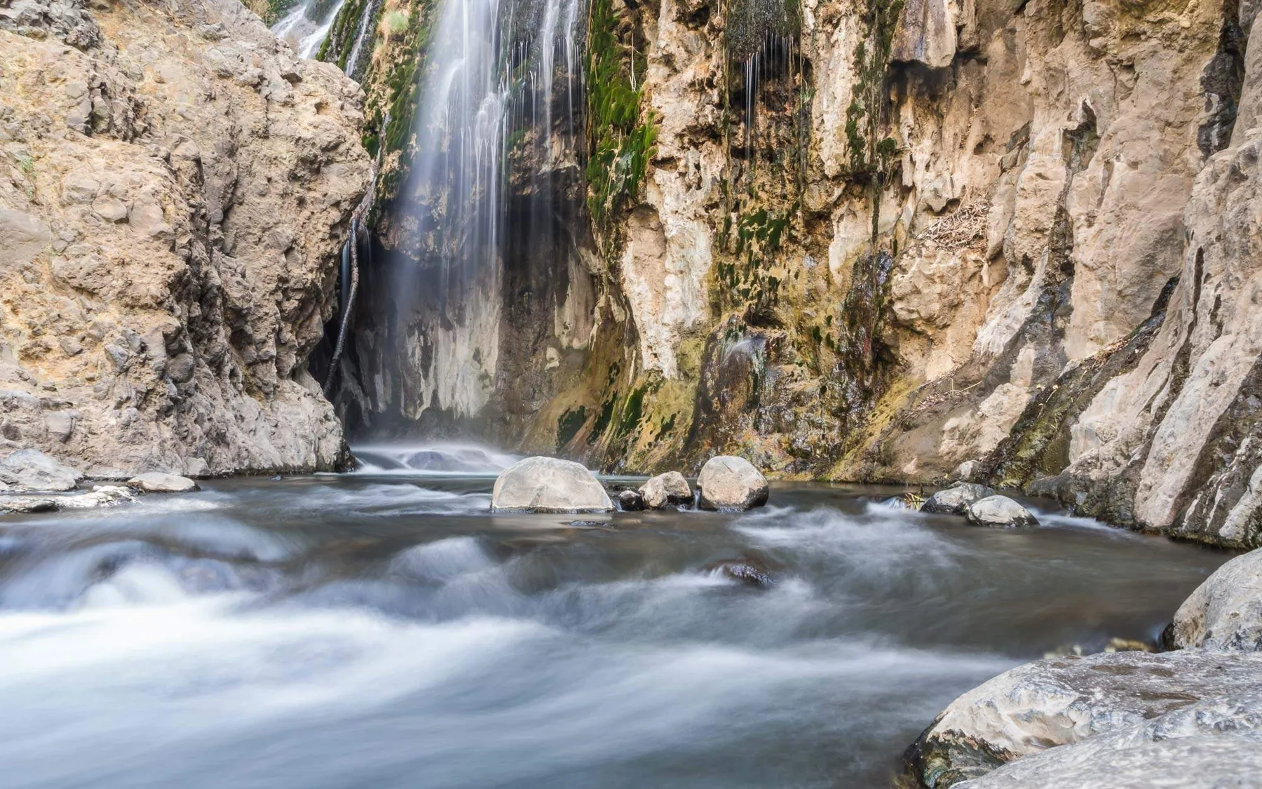
The waterfall is at Engare Sero, on the southern shore. Nearby, an ash flow set around a few hundred human footprints and held them. Dating puts them somewhere between six and nineteen thousand years old — the largest set of ancient footprints found anywhere in Africa, left by people crossing the same flats.
04Tarangire — vertical country
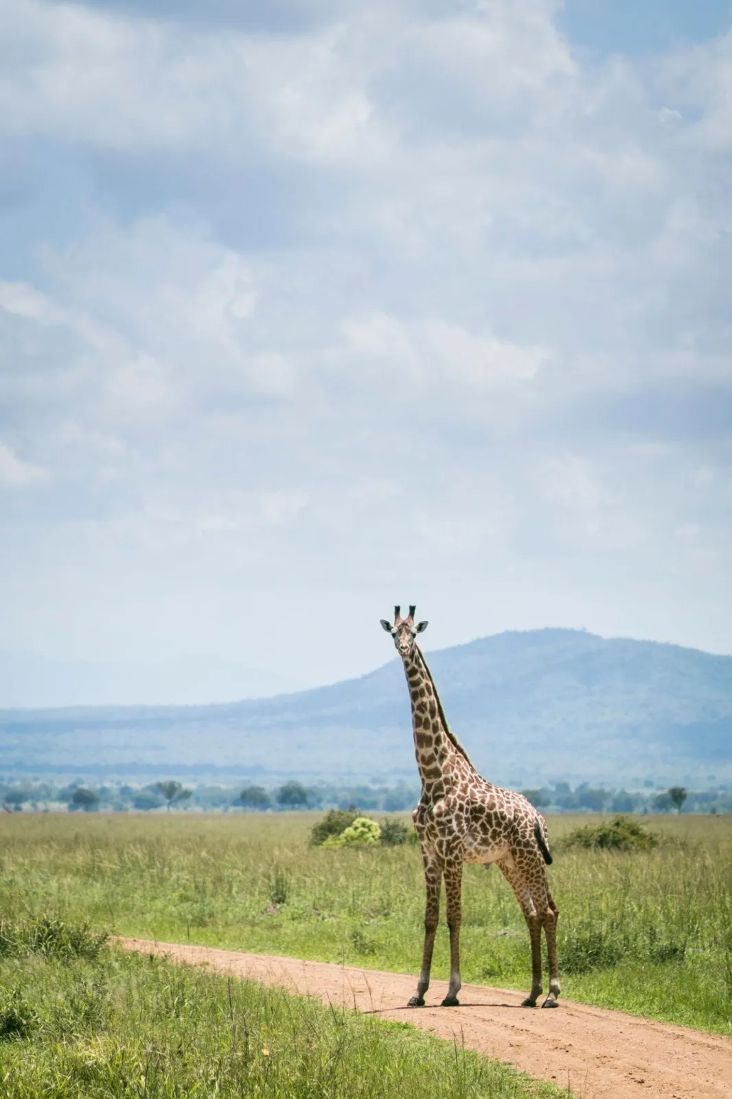
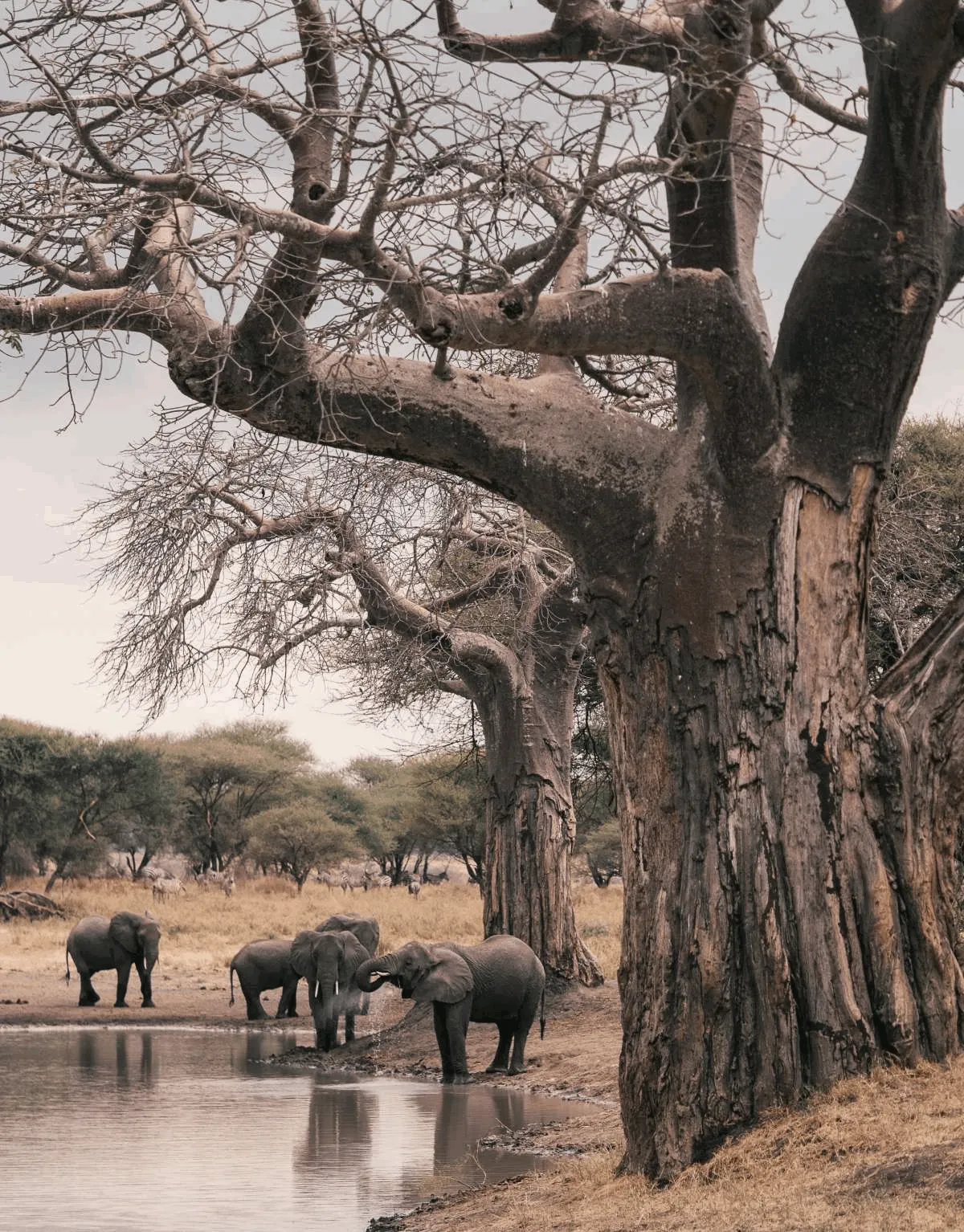
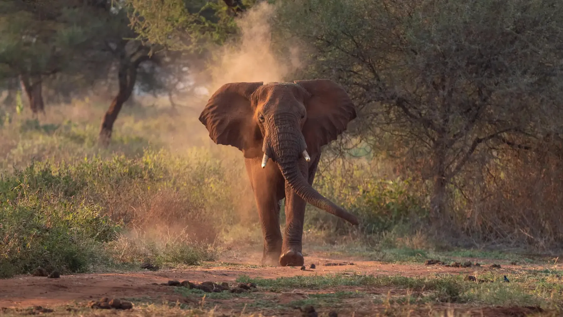
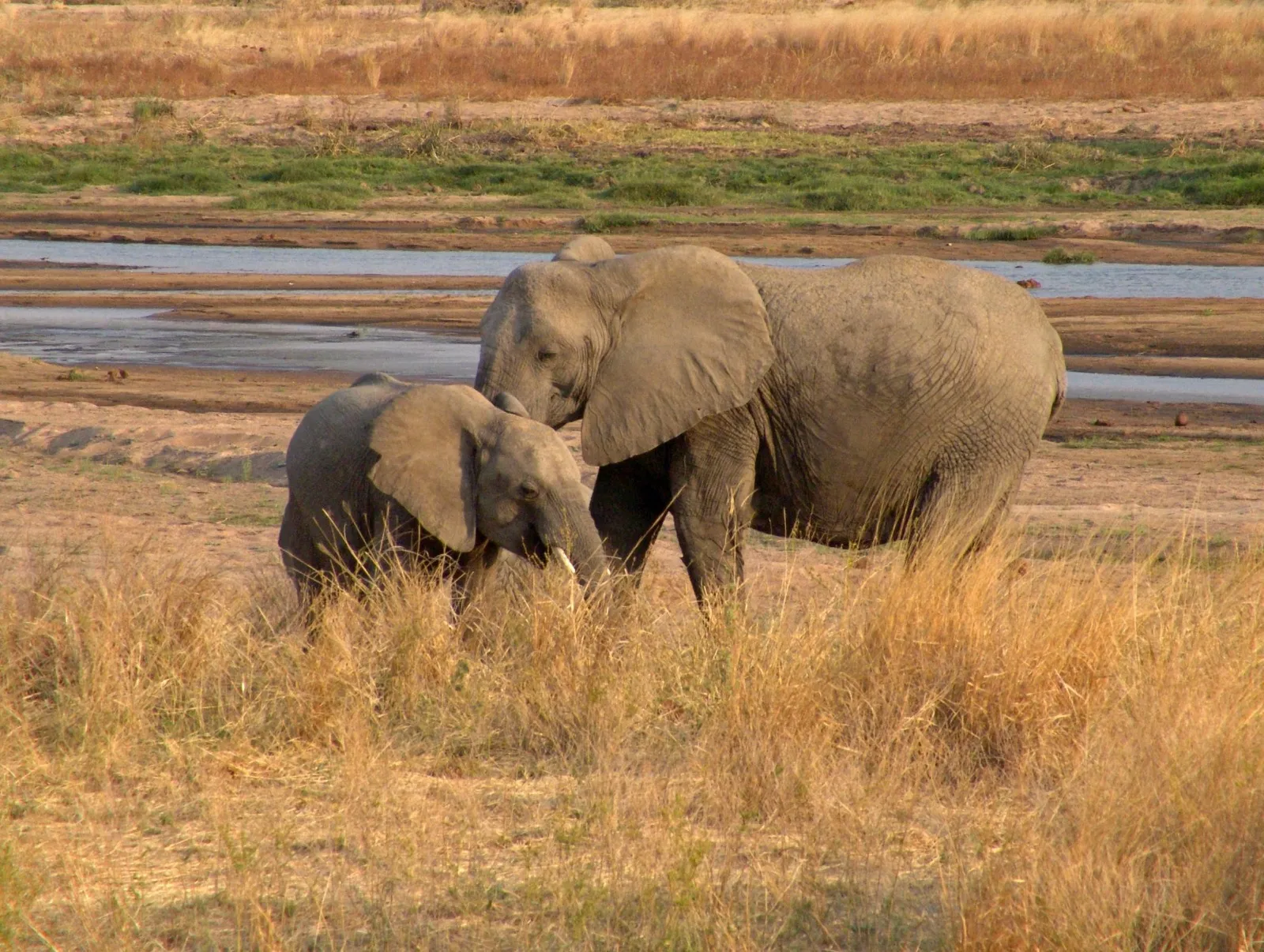
Where the Serengeti runs flat, Tarangire stands up: baobab trunks, termite mounds, elephants in the middle distance. Through the dry months the Tarangire River is the only reliable water for a long way, and the park fills up accordingly.
05Manyara — the transition
Escarpment on one side, groundwater forest at its foot, and below that a soda lake full of birds. Twenty minutes changes the vegetation entirely.
Manyara is narrow. The park is a strip caught between the rift wall and the water, and the whole sequence — rock, forest, floodplain, lake — happens across a few kilometres. It is the one place in the north where you can watch the geology change the vegetation in front of you, which is why it belongs between the crater and the plains rather than competing with either.
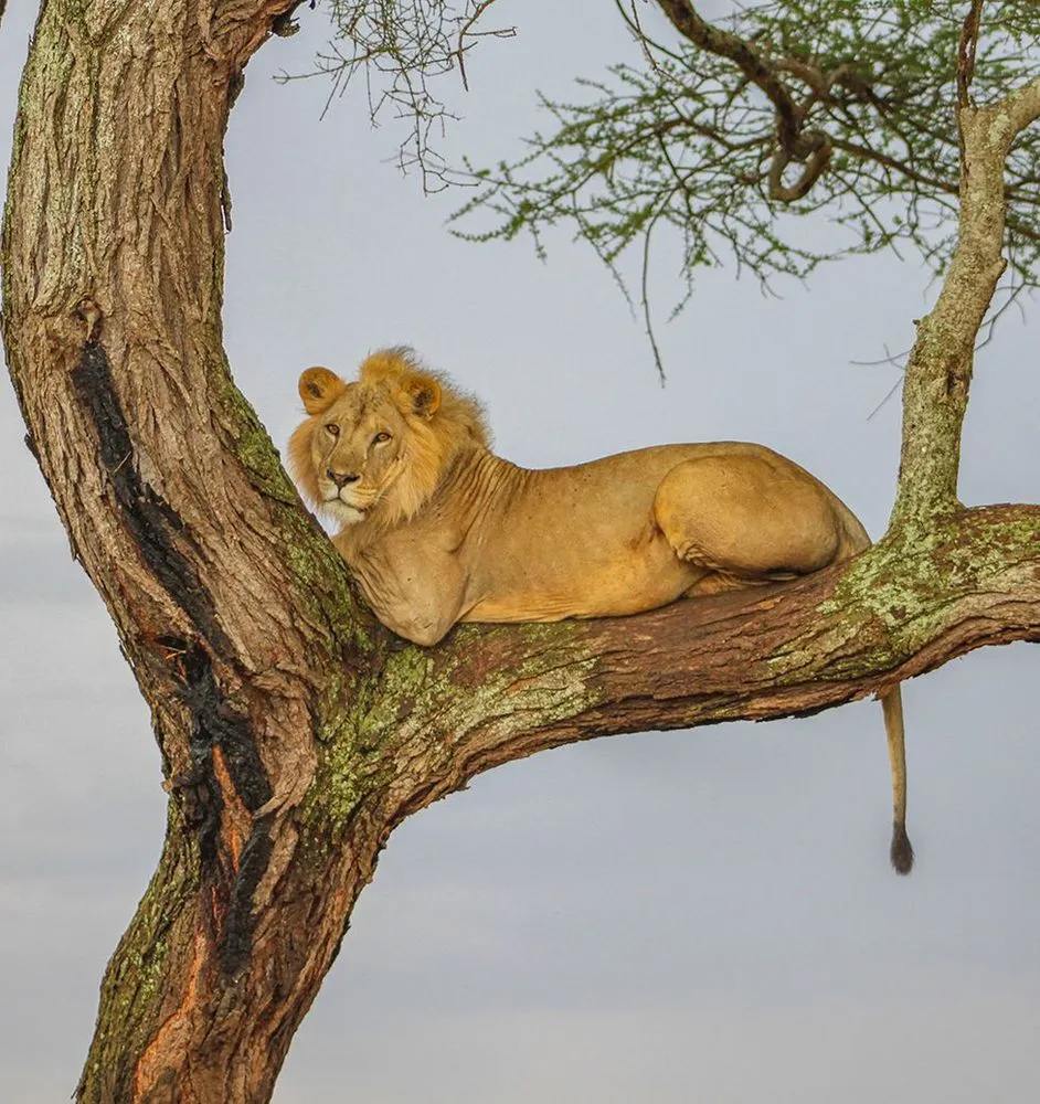
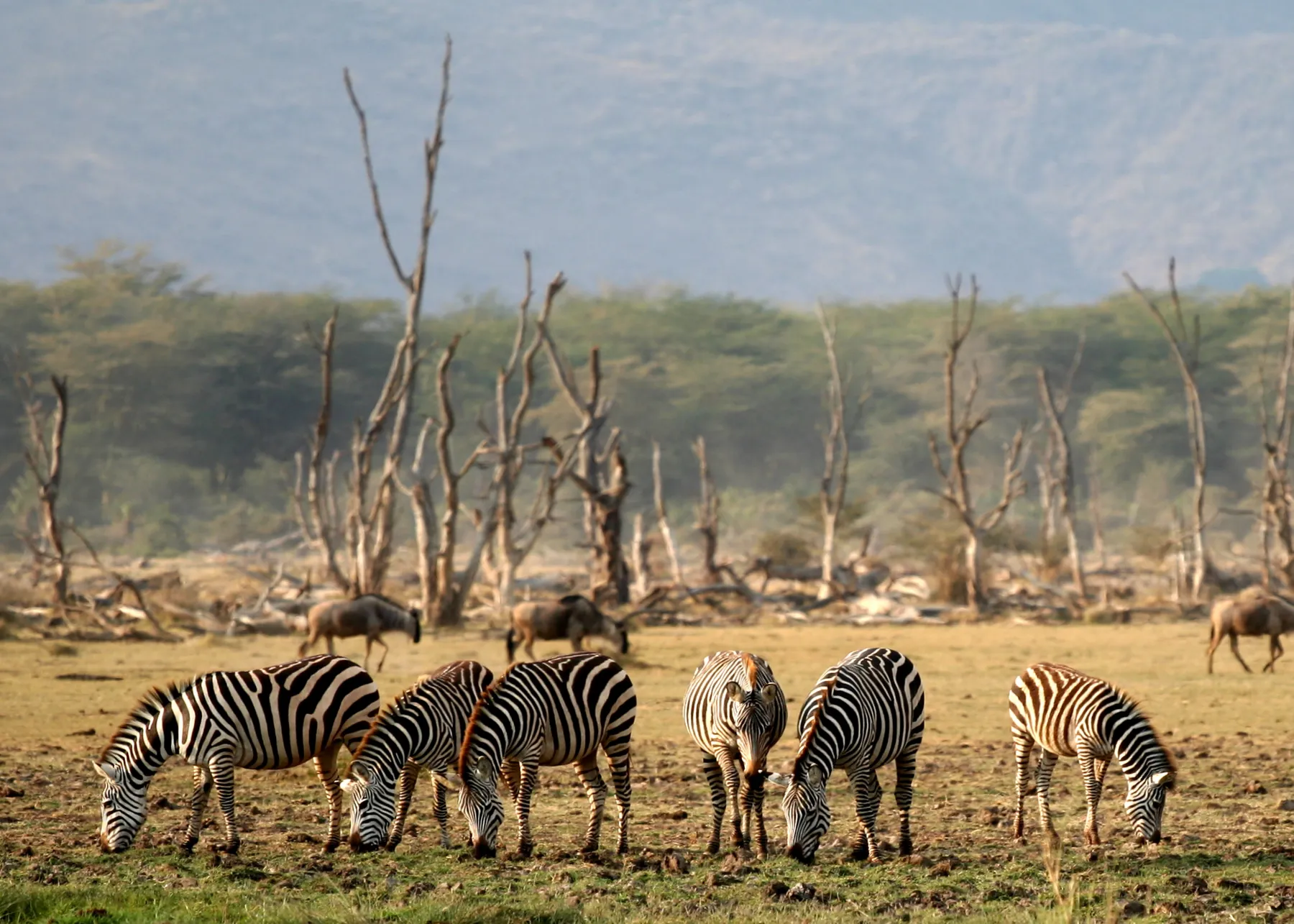
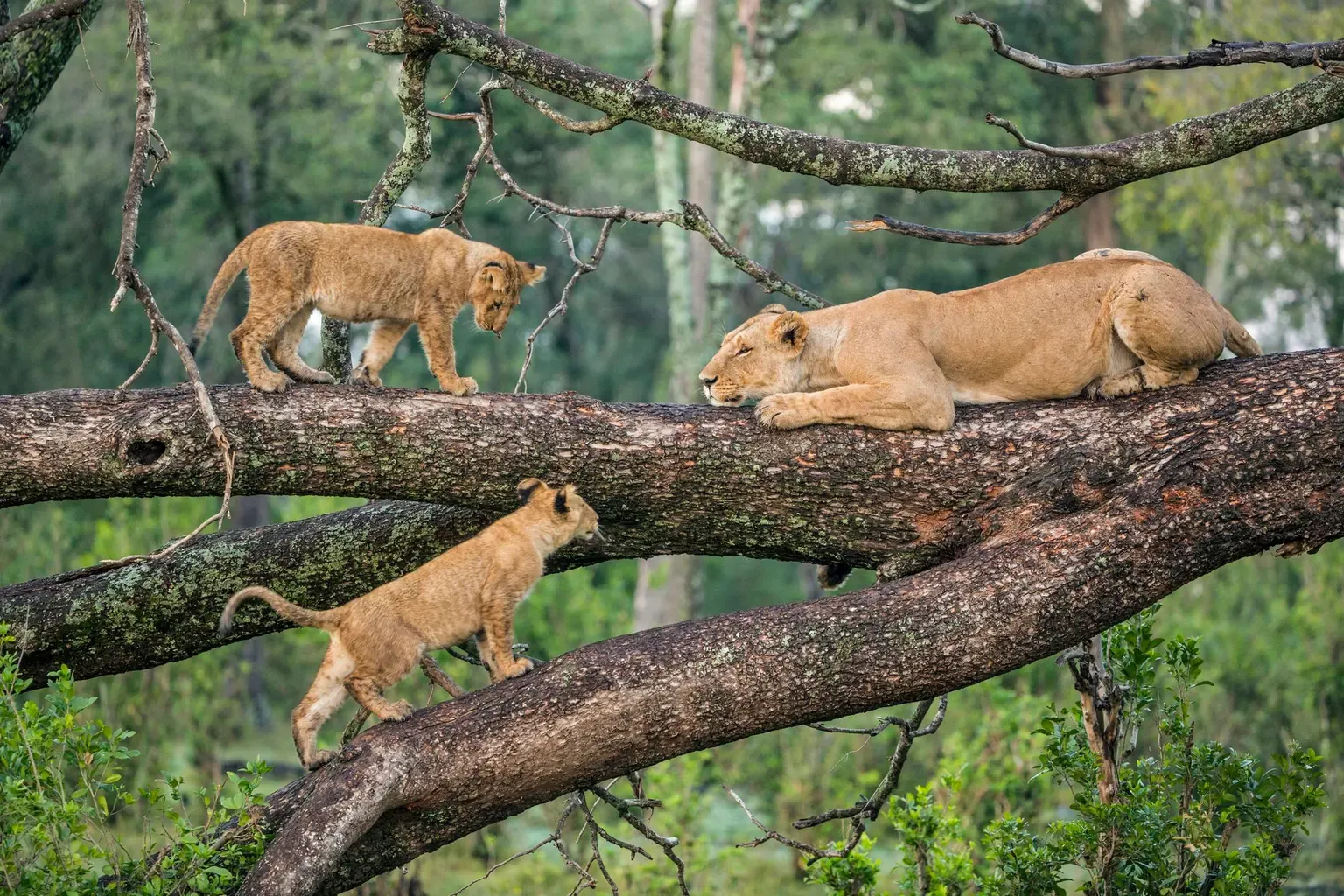
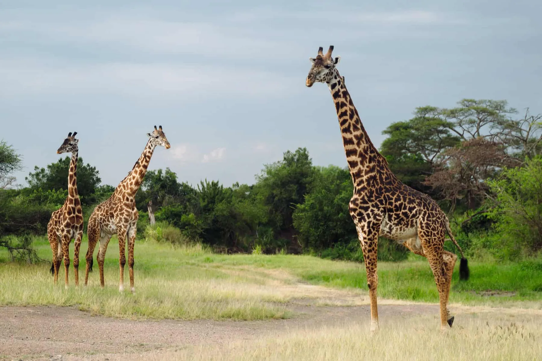
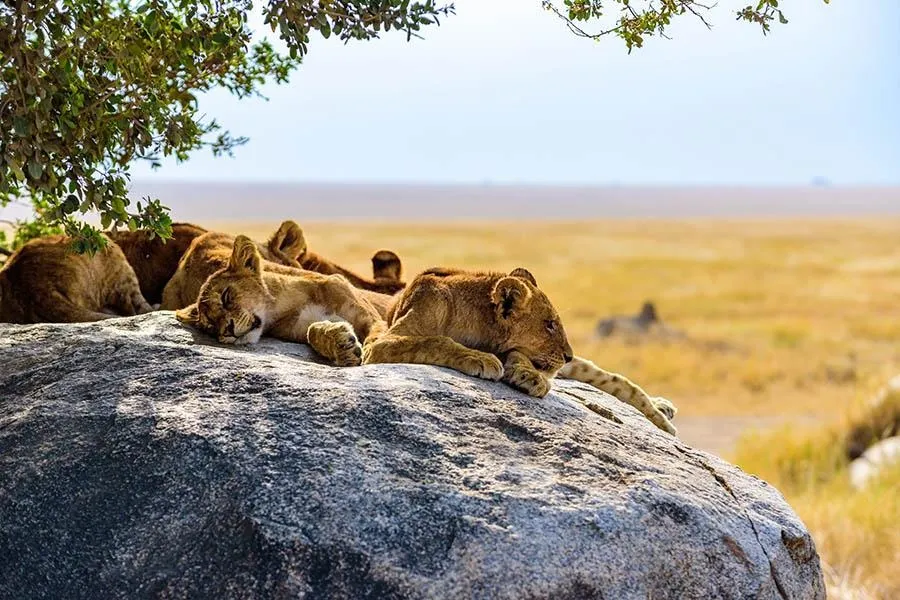
Manyara’s lions climb. Nobody has settled why.
06Mkomazi — the empty quarter
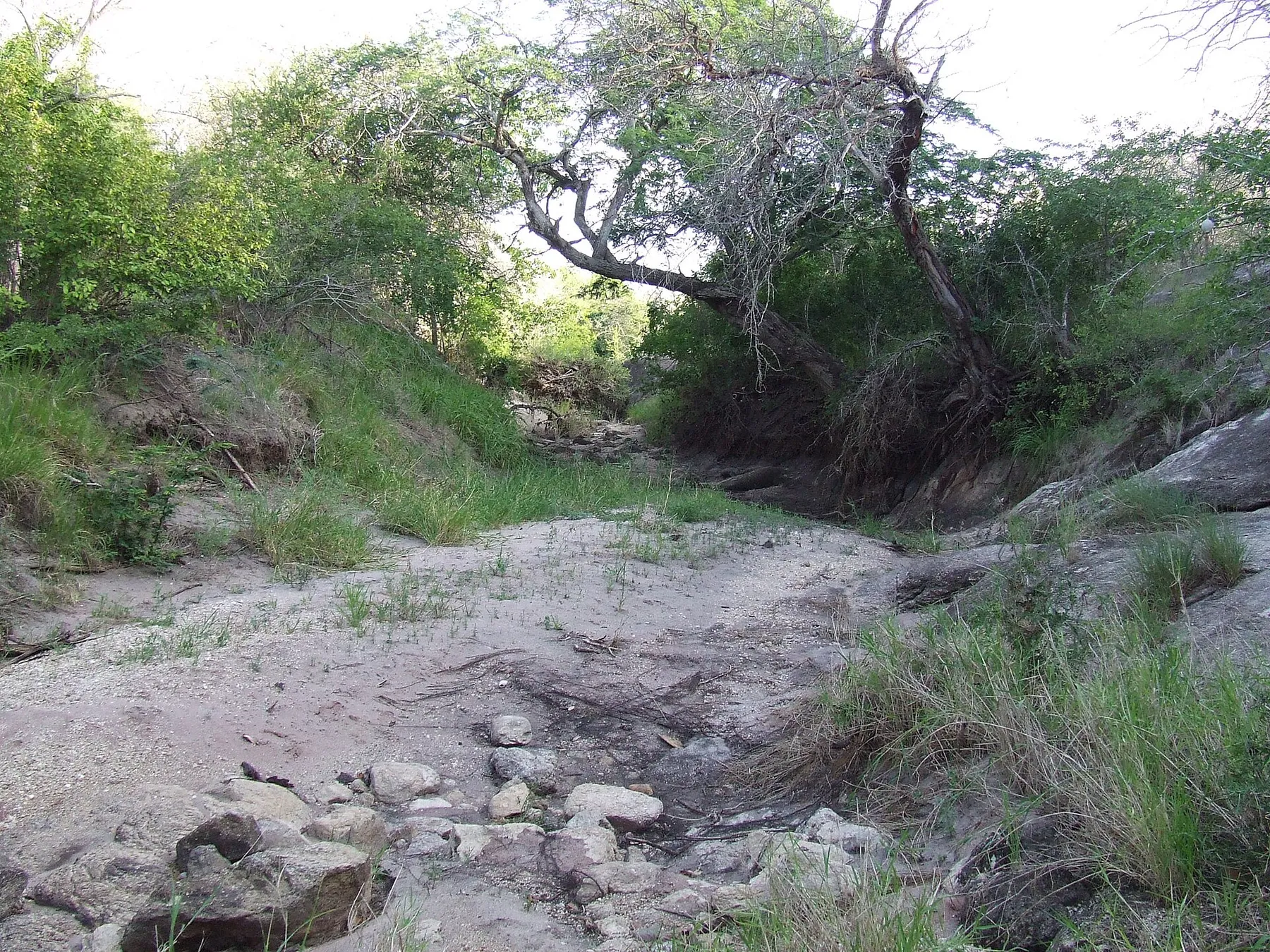
Mkomazi is the argument against everything else on this page. Dry Nyika thornbush, no crowd, no busy safari route, running east until it becomes Tsavo on the Kenyan side of an unmarked boundary — together one of the largest connected protected landscapes left in East Africa.
The animals are different here because the country is. Gerenuk standing on their hind legs to browse, lesser kudu, oryx — dry-country antelope you will not meet in the Serengeti. Black rhino were brought back into a fenced sanctuary inside the park from the late nineties, and a wild dog programme runs alongside it. Neither is a game drive. Both are the reason the park exists in its current form.
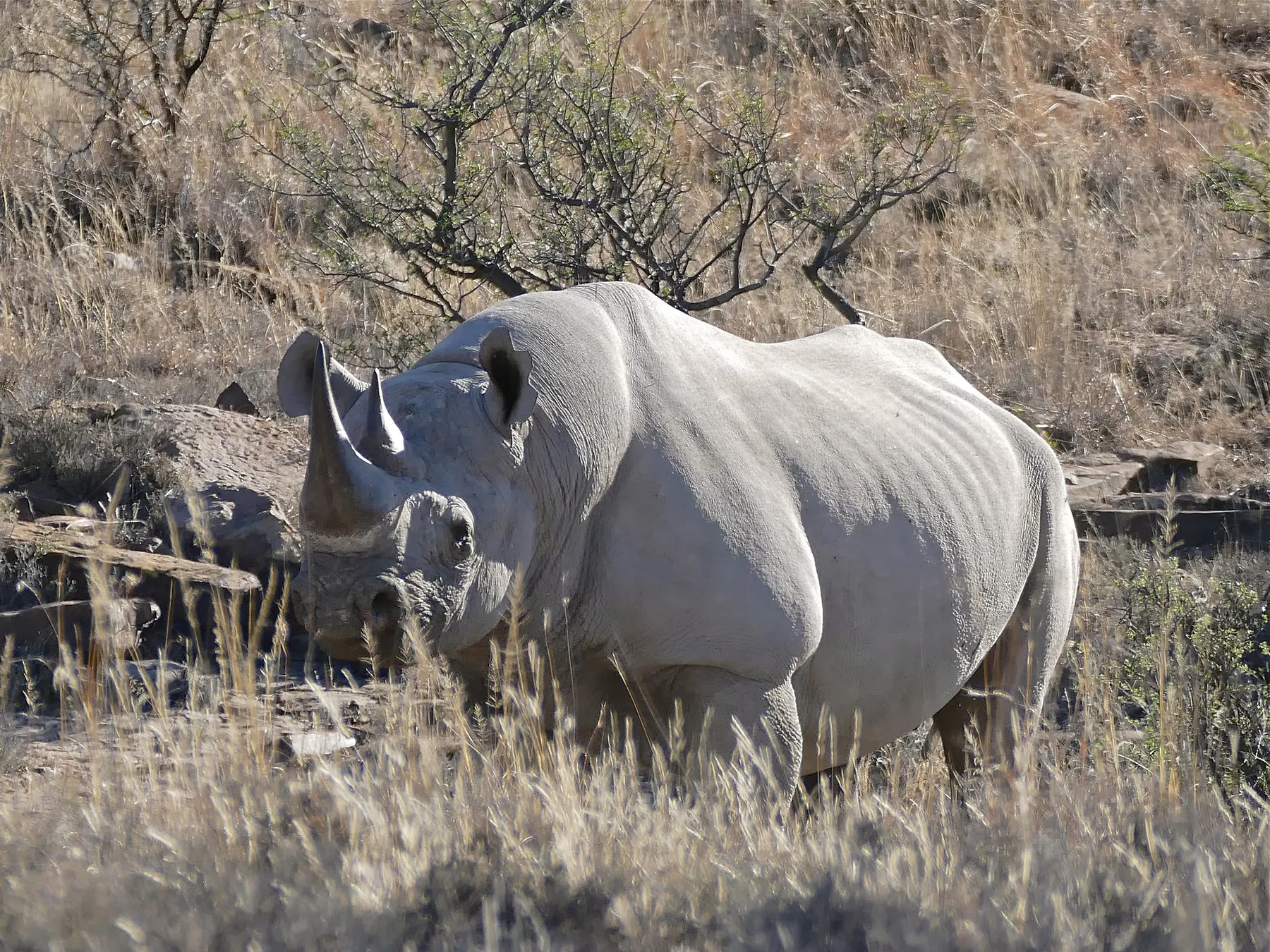
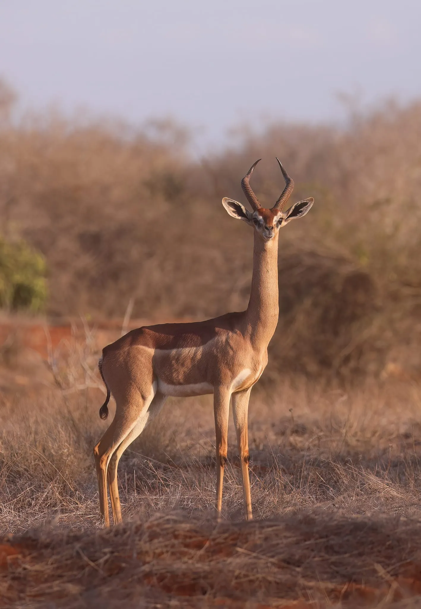
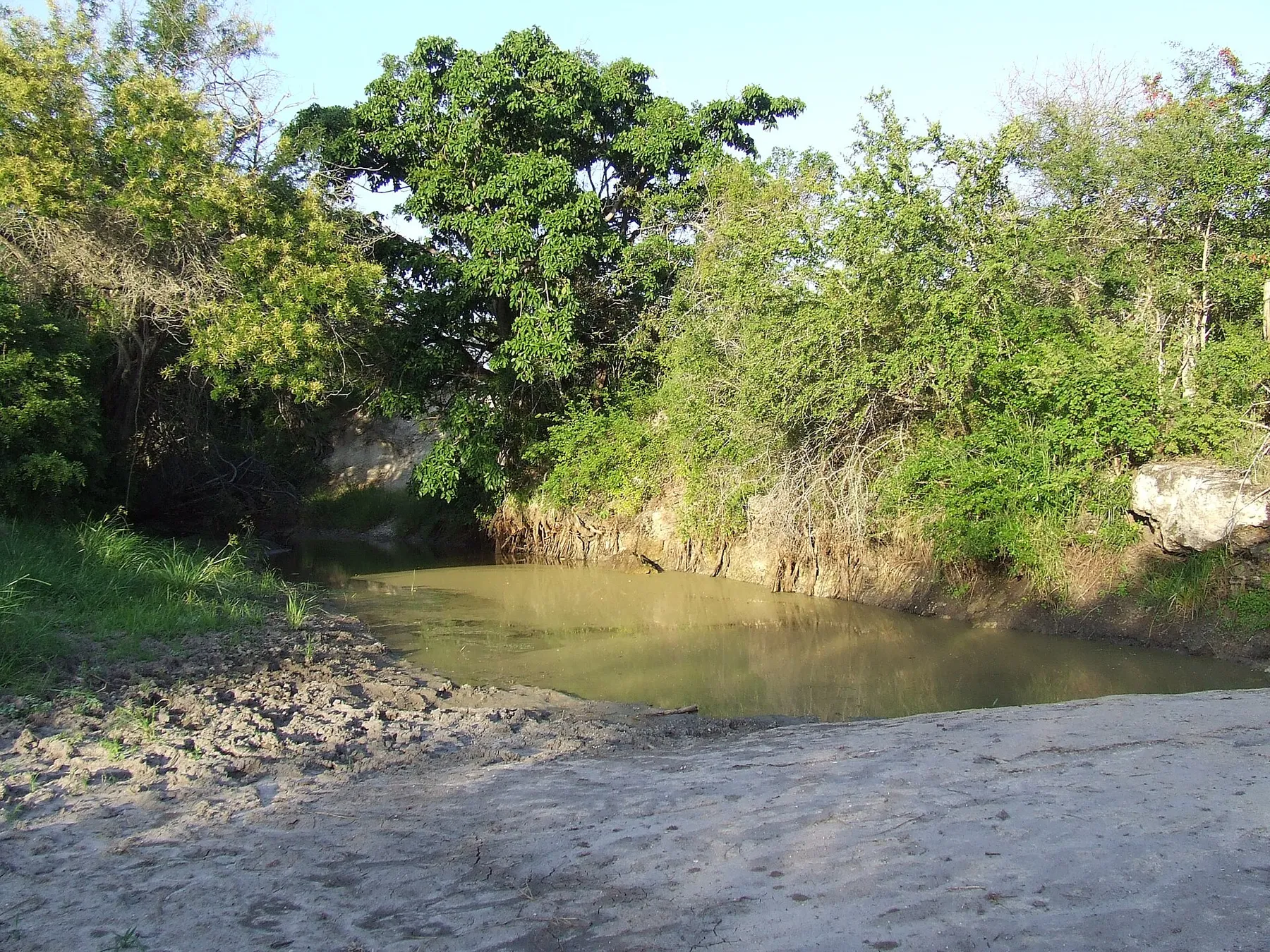
A gerenuk in the dry bush, and a pool below a sandy bank in the park's woodland.
07Kilimanjaro — the north also rises
The mountain is not a safari add-on. You leave farmland in the morning and are in alpine desert three days later, having crossed more vegetation zones than most countries contain. Uhuru Peak stands at 5,895 m.
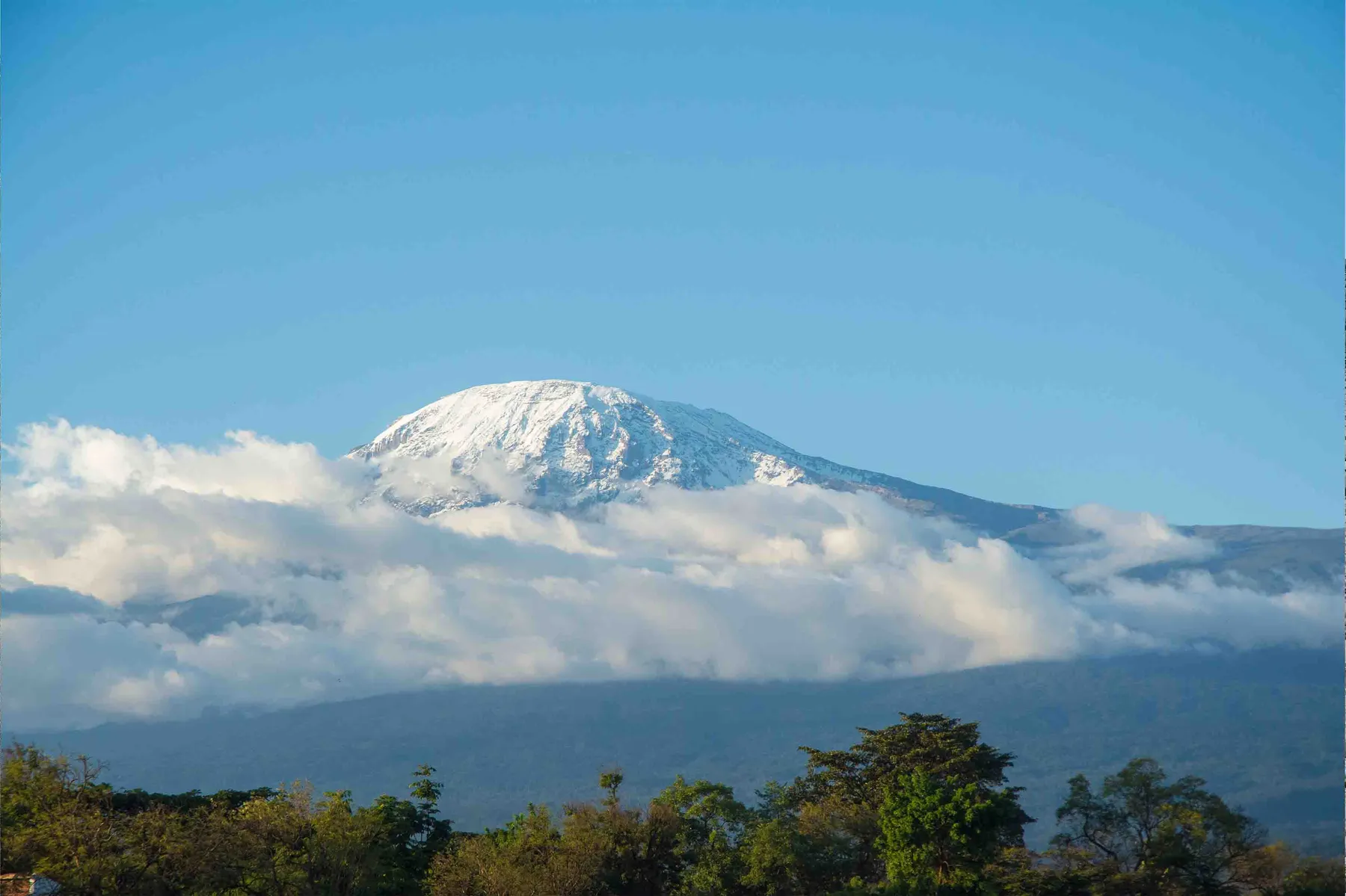
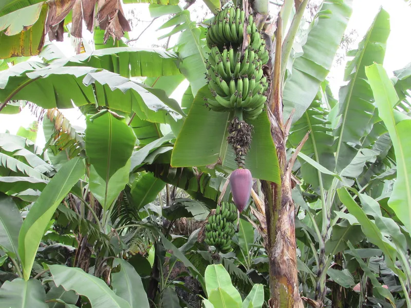
Cultivation
800–1,800 m
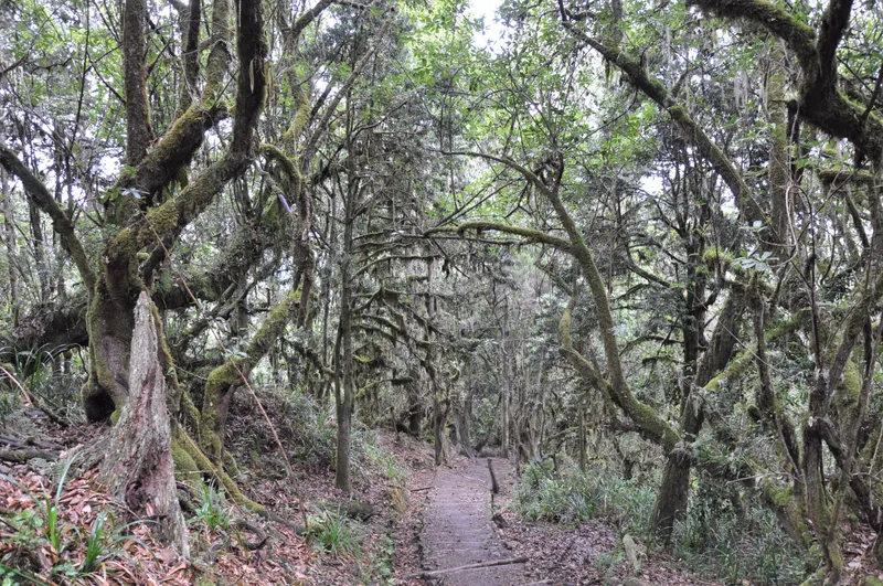
Rainforest
1,800–2,800 m
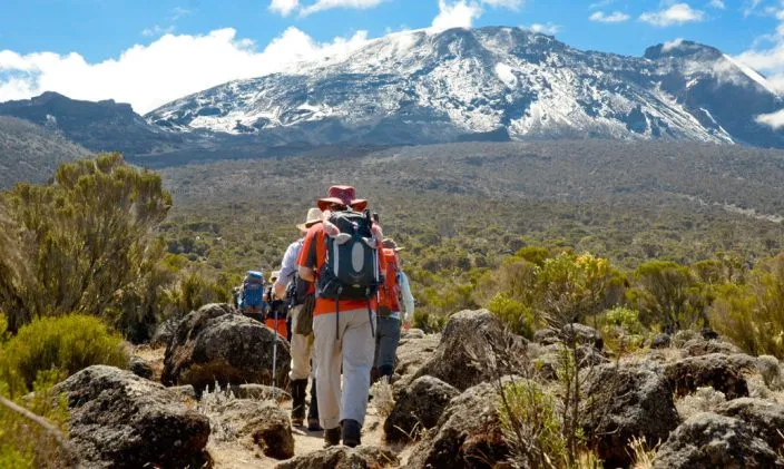
Heath and moorland
2,800–4,000 m
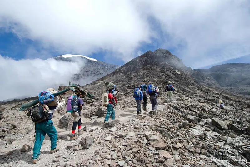
Alpine desert
4,000–5,000 m
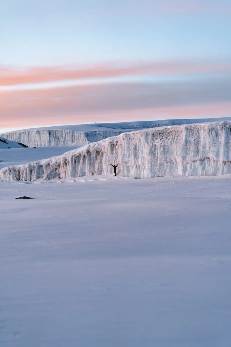
Summit and glacier
5,000–5,895 m
Routes that already run between these places. Any of them can be lengthened, shortened or rebuilt around the week you can travel.
10 days Ten days shaped around where the herds actually are, ending in the northern Serengeti for the river crossings, with a balloon flight over the plains.
Migration & Wildlife
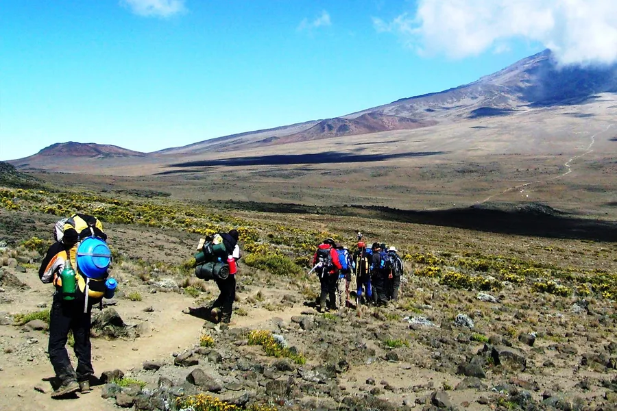 9 days
The long way up the western side, with two nights on the Shira Plateau before the Barranco Wall. The extra days are what get people to the top.
Climbing
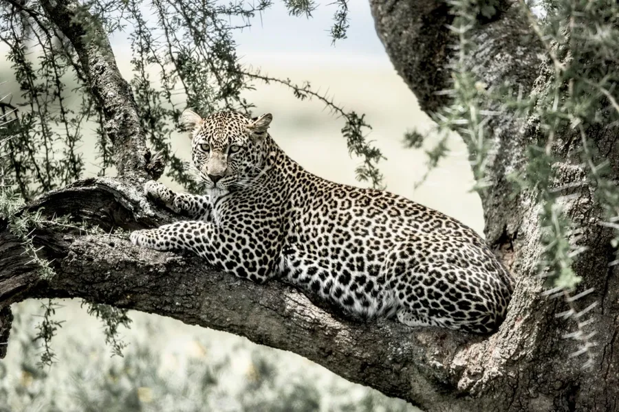 8 days
Every park in the north in one run, finishing at Lake Natron rather than turning back at the crater — which is what makes it eight days and not six.
Wildlife & Hiking
Tell us which of these you already knew about, and we will build the journey between them.
Copyright © 2026 Terra Tanganyika, All rights reserved. Photograph credits