 4 days
Mahale in Four Days
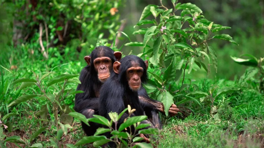
The shortest way to Mahale: two tracking days on a mountain that falls straight into the lake, for groups of two to seven and nobody else.
Chimpanzees & Hiking

Chapter three — Western Tanzania
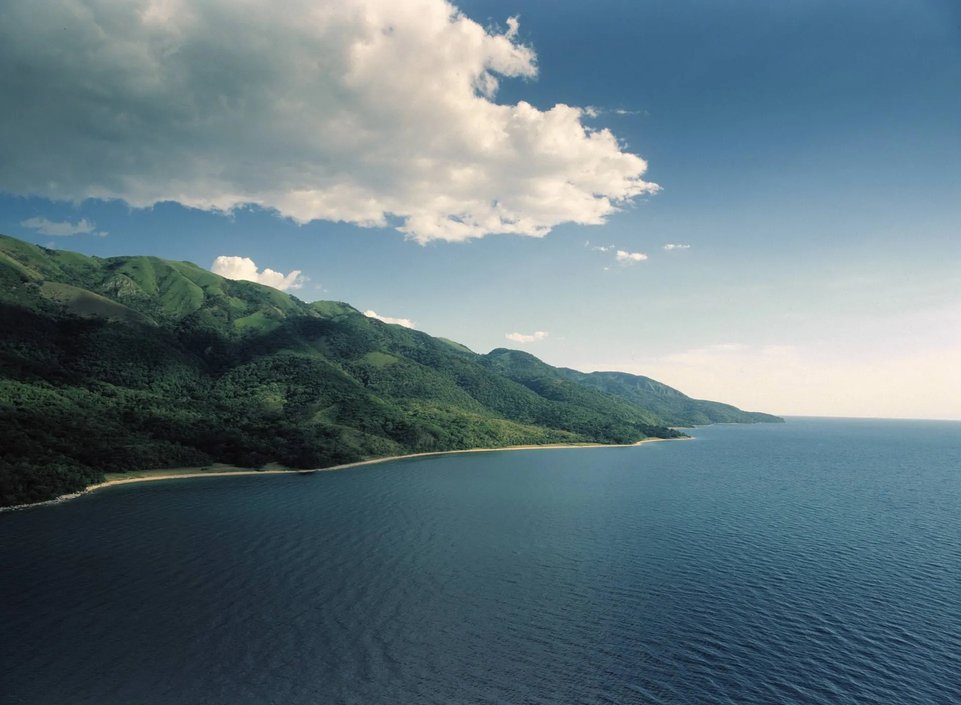
Forest down to the sand, chimpanzees on the slopes above it, and the second-deepest lake on earth in front of both.
Explore Western TanzaniaNothing out here is on the way to anything. Every place on this page takes a flight, a boat or both to reach, and the difficulty is not incidental — it is why the west still feels like this.
Why it takes the time
Kigoma is where the Central Line railway reaches Lake Tanganyika. Gombe lies up the shore from it and Mahale a long way down, and neither park has a road in: the last leg is a boat, as it is for the fishing villages in between.
Katavi is the exception, a floodplain well inland that you reach by light aircraft. Those flights are what make it possible to see the forest and the plain in a single trip.
01Lake Tanganyika — a rift full of water
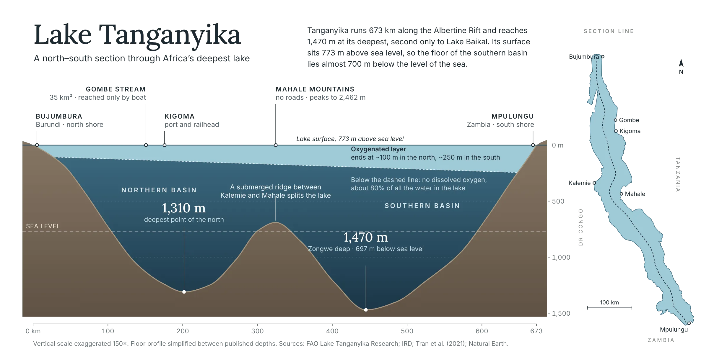
The lake sits in a trough the African rift pulled open somewhere between nine and twelve million years ago. It runs 673 km from the Burundi end to the Zambian end and reaches 1,470 m in the southern basin — second in the world for both depth and age, behind Baikal. The fault that dropped the floor lifted the shoulders at the same time, which is why the mountains come straight down to the water, and why the parks on it have no roads.
Only the top layer holds oxygen. Below a couple of hundred metres almost nothing lives, so everything the lake is known for is crowded into that thin band: something close to 250 cichlid species, almost all of them found here and nowhere else. It has been separate for long enough to have made its own fish.
02Mahale — straight out of the water
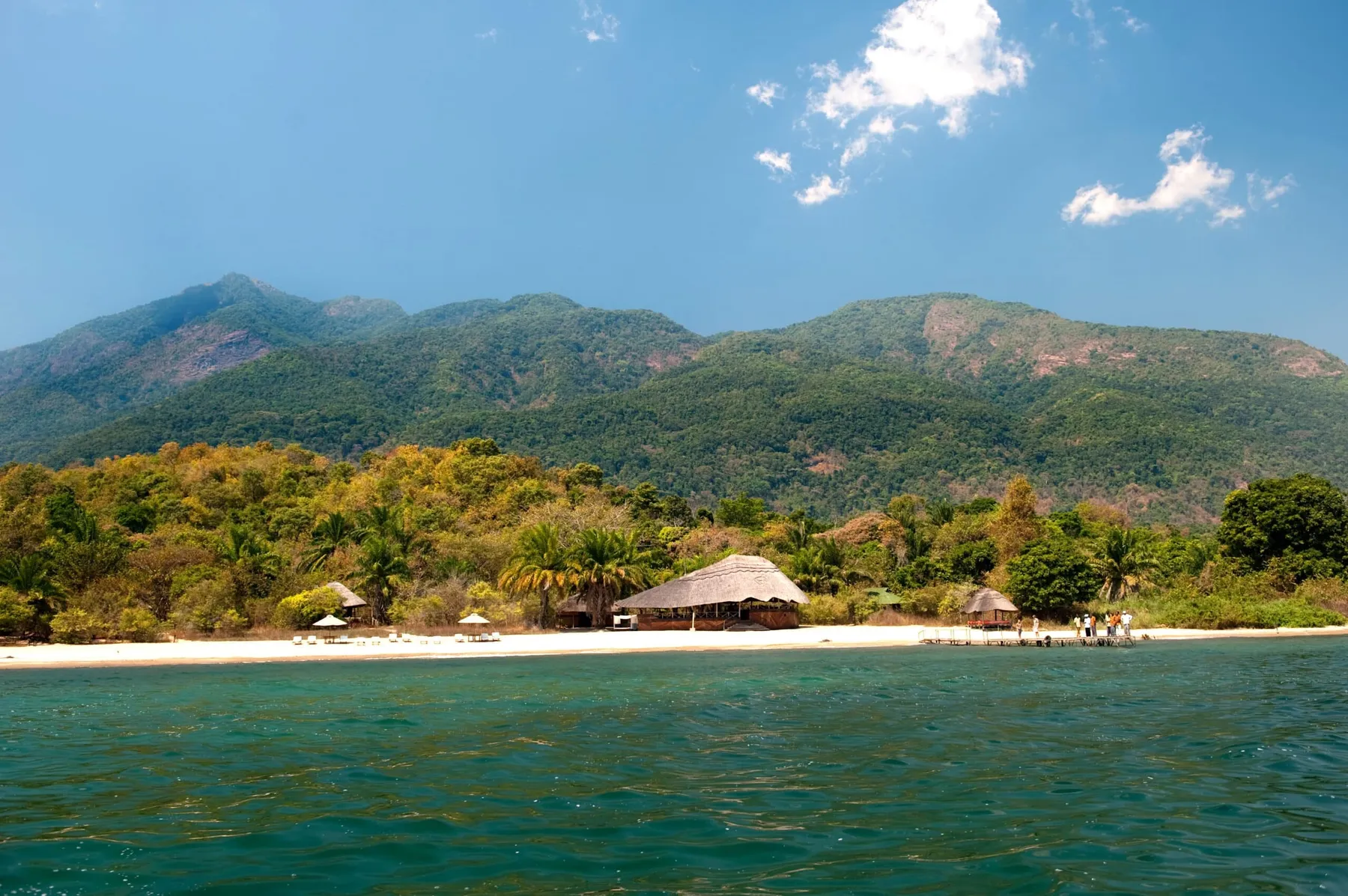
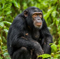
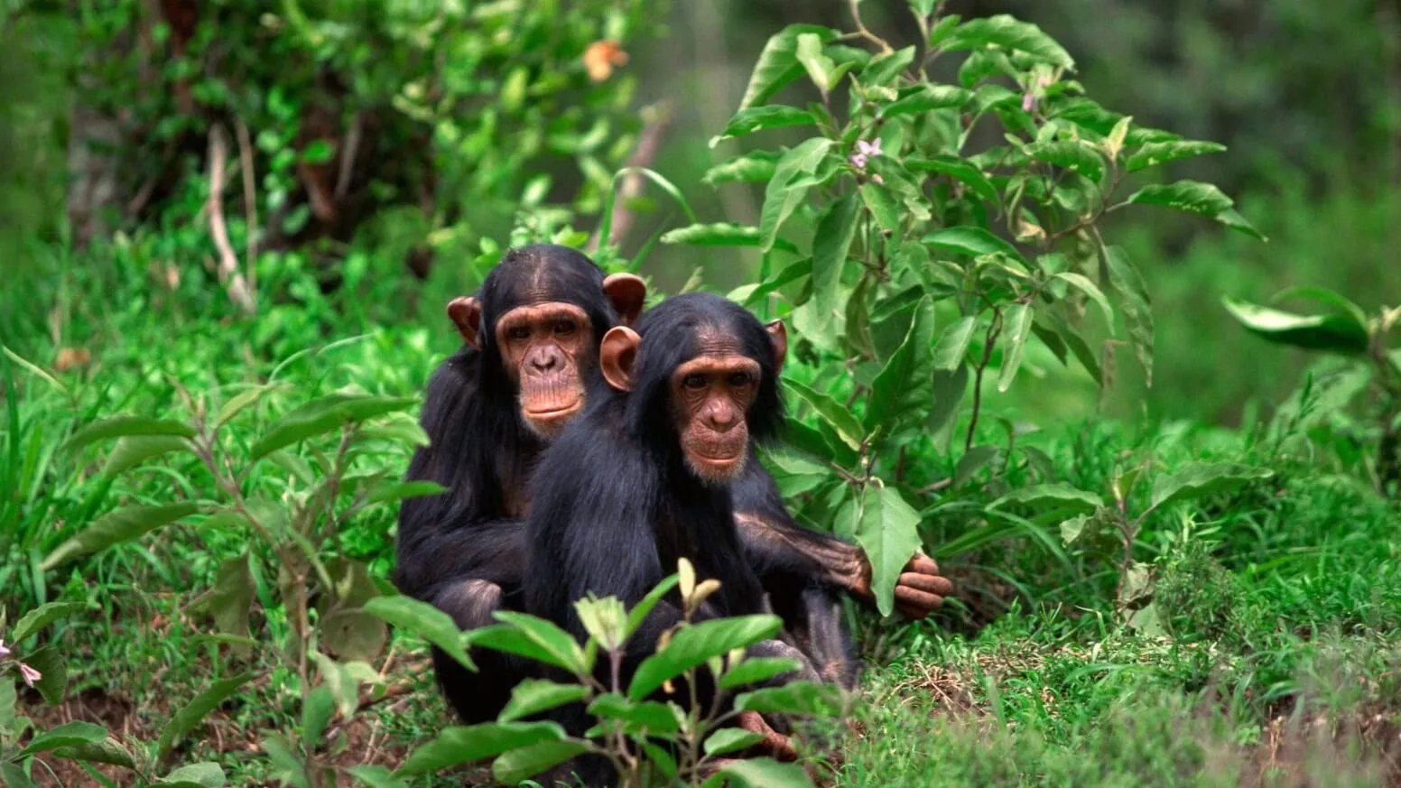
Mahale is 1,613 km² of mountain standing straight out of the water. Nkungwe reaches 2,462 m, about seventeen hundred metres above the lake surface, and the forest runs from the shoreline most of the way up it. There are no roads in the park and no vehicles of any kind. You arrive by boat, and after that everything happens on foot.
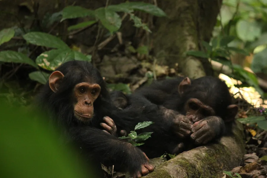
The chimpanzee community here has been followed since the 1960s by researchers from Kyoto University, which is the only reason any of this is possible — it took years of daily contact before a wild chimpanzee would let a person stand ten metres away and carry on with its morning. Tracking takes an hour some days and most of the day on others. The forest is steep and humid and the climb is real.
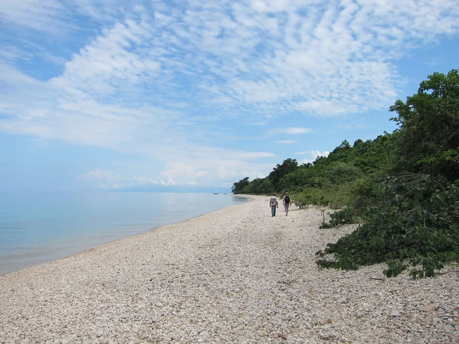
Afterwards there is the lake, which at this end is clear enough to see the bottom from a boat, and warm enough to swim in from the sand.
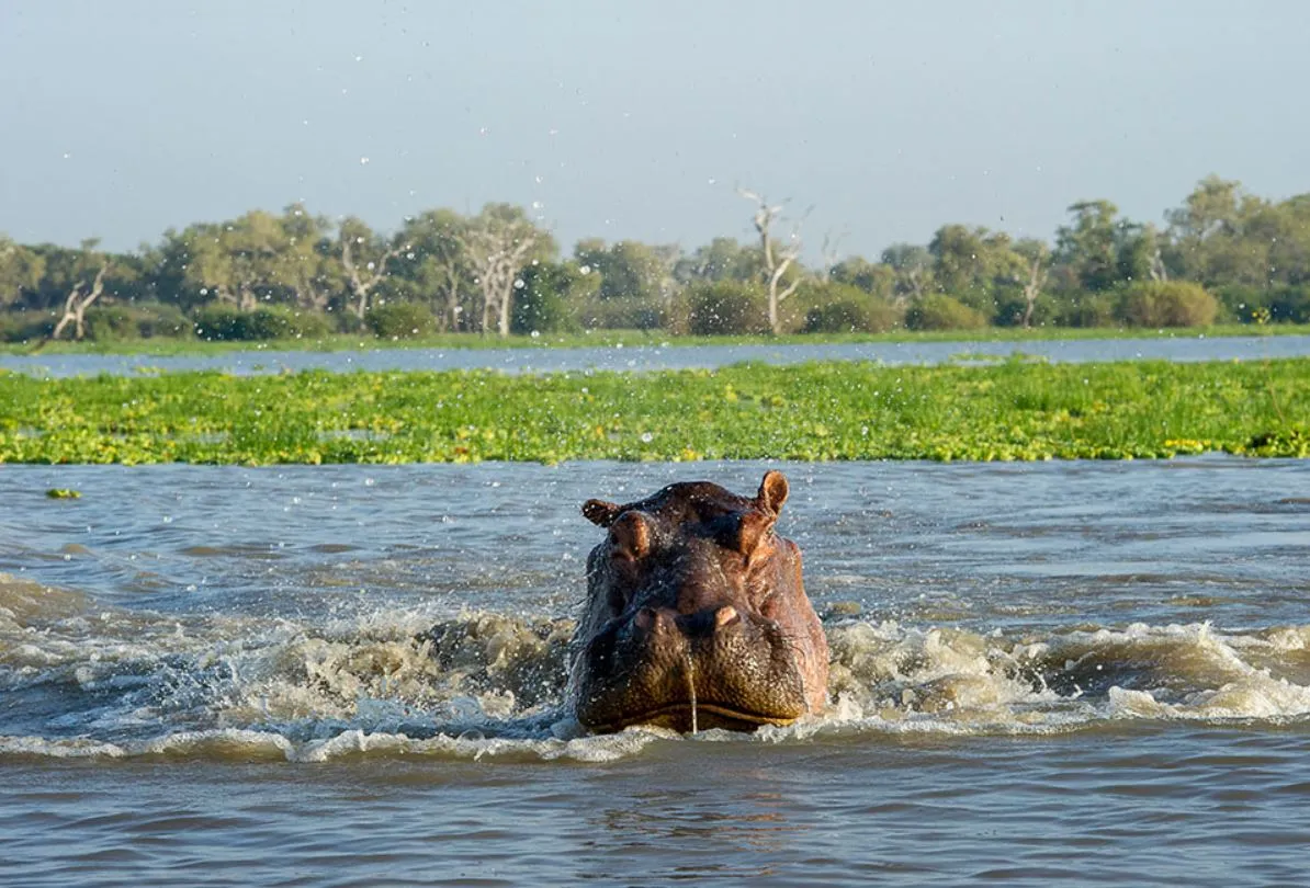
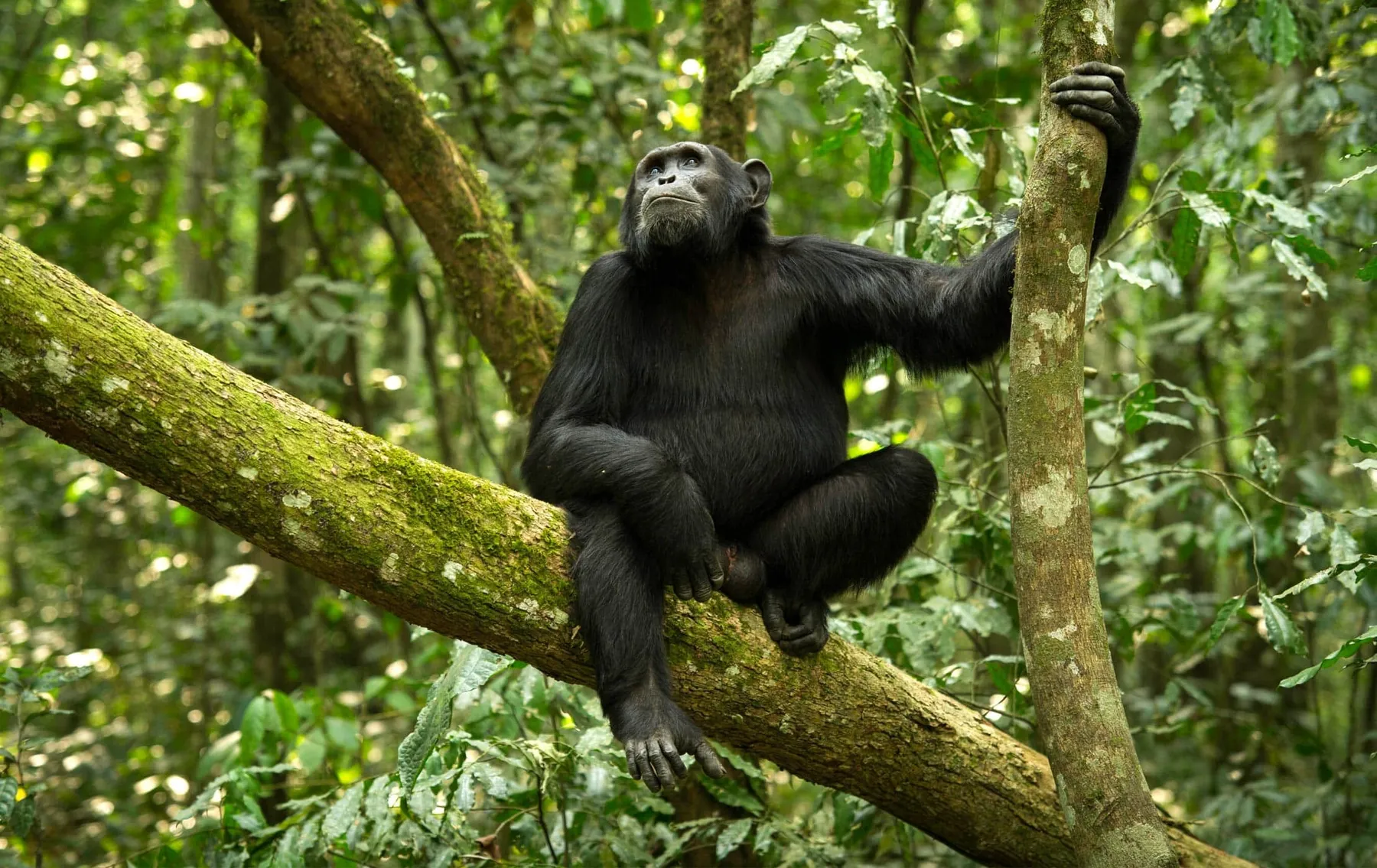
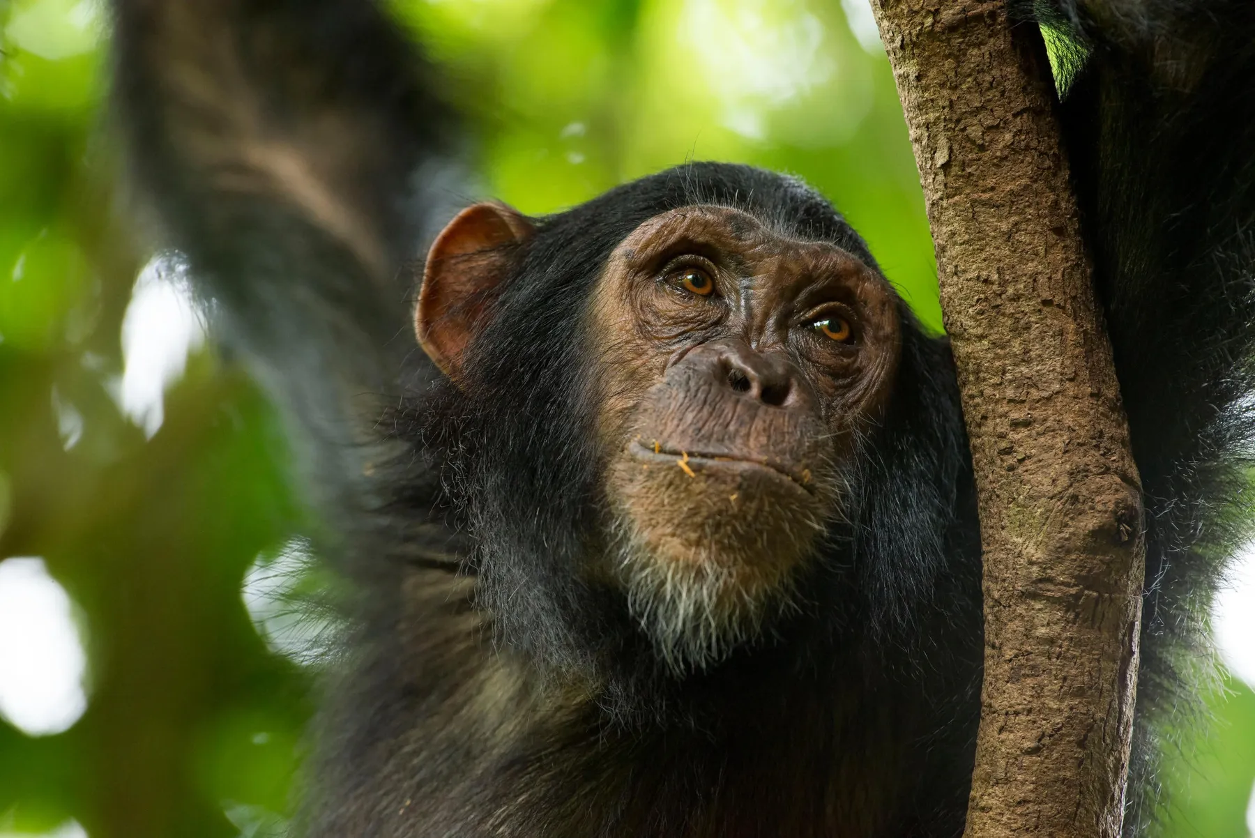
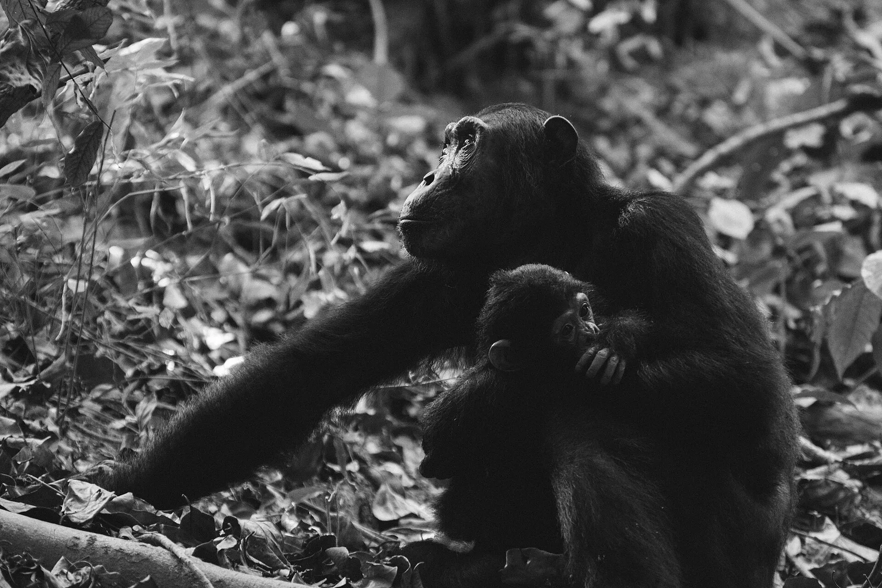
From the shallows into the forest, and closer each time.
03Gombe — where the record started
A strip of steep valleys running down to the water, thirty-five square kilometres in total, and the longest continuous study of wild chimpanzees anywhere.
Jane Goodall started work here in July 1960, and the Kasekela community has been watched almost daily since. That record is the park's real subject — the individuals are known by name across five generations, and the behaviour that rewrote the textbooks was first written down on this hillside.
It is one of the smallest national parks in Tanzania, and there is still no road into it. The boat drops you on the beach, and the walking starts immediately and goes uphill. The chimpanzees range where they want to; some mornings they are twenty minutes from the shore and some mornings they are not.
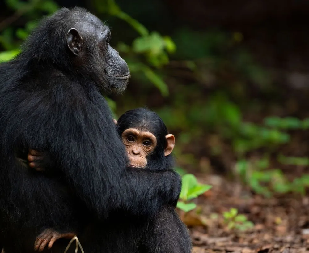
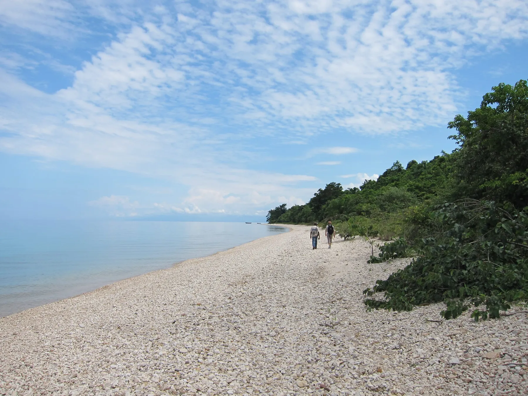
Gombe is not a smaller Mahale. It is a specific place with a specific record, and the walking is the same either way.
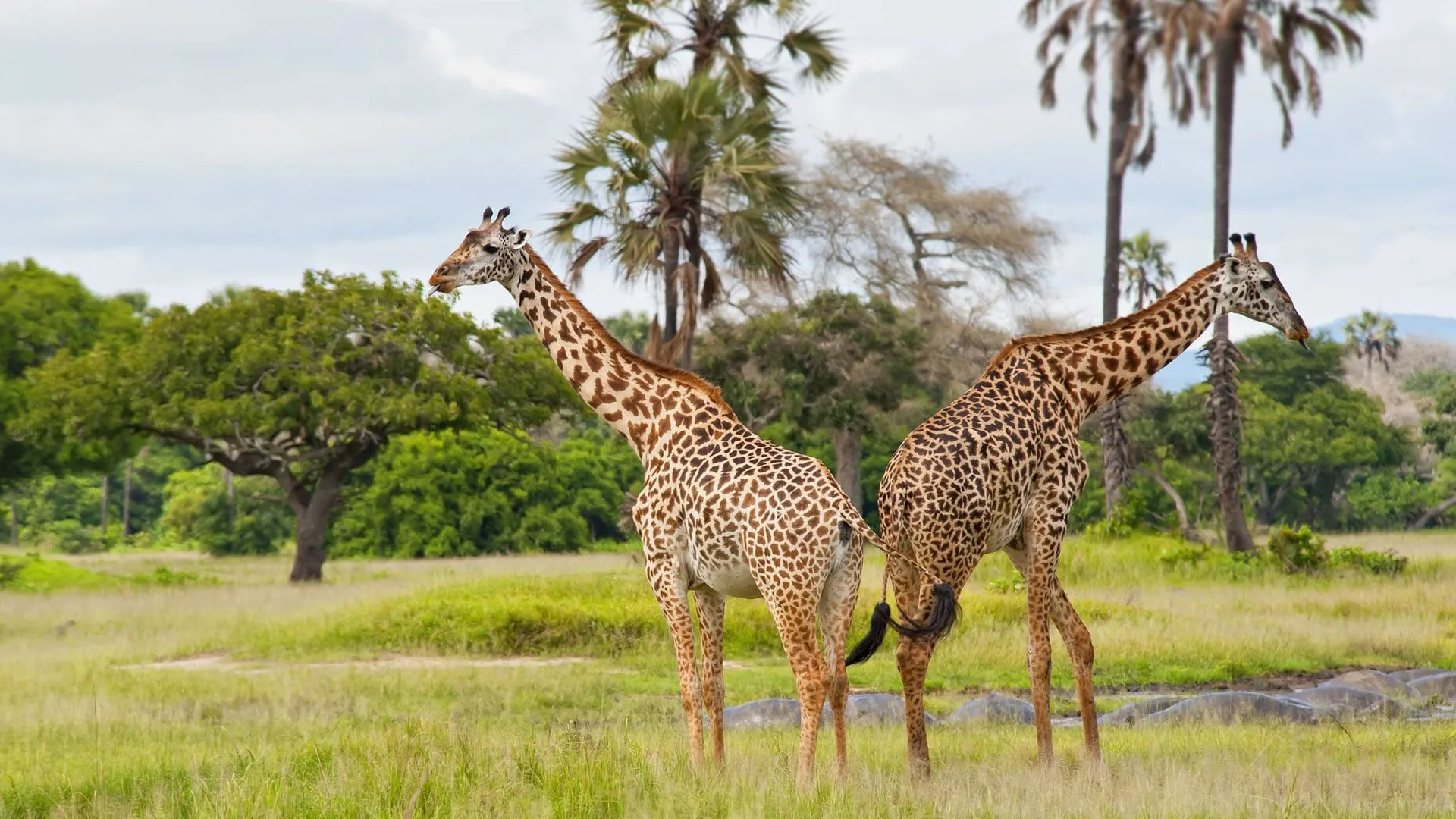
Katavi in the green season, when the plain carries water and the animals are spread across all of it. What follows is the other half of the year.
04Katavi — away from the lake
Roughly four and a half thousand square kilometres, and a visitor count for the whole year that the northern parks pass in a week.
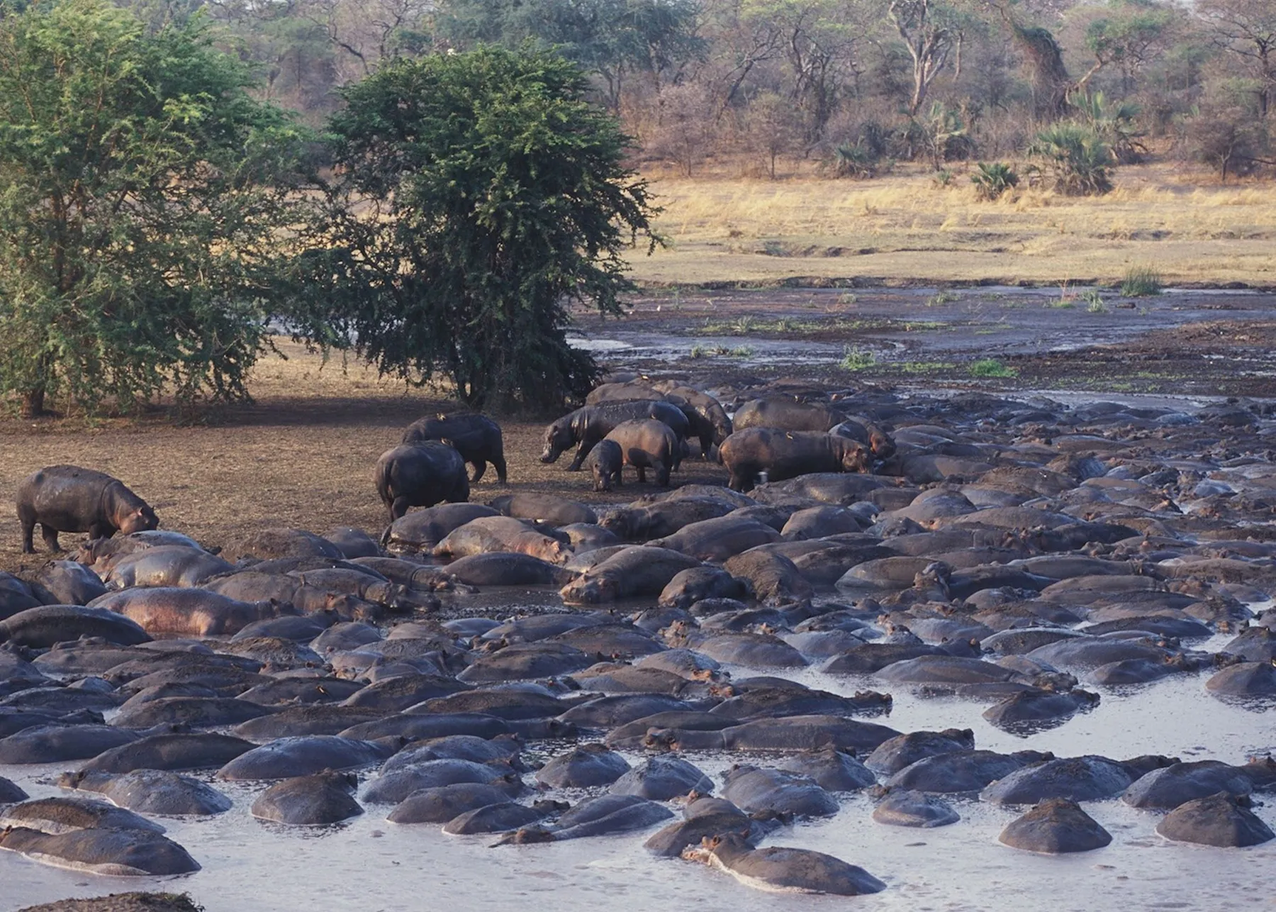
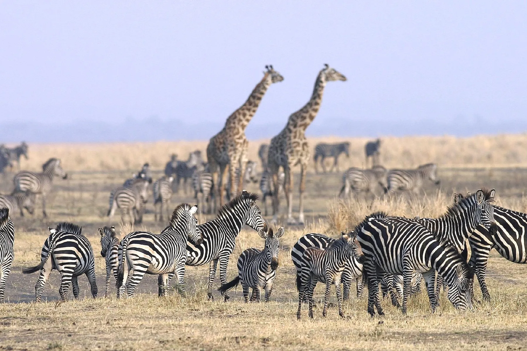
As the Katuma dries, hippo and crocodile crowd into whatever water is left, and the buffalo cross the Katisunga plain in herds of several hundred. There is not much more to say about it than that, which is the point.
Routes that already run between these places, by air and by boat. Any of them can be lengthened, shortened or rebuilt around the week you can travel.
4 days The shortest way to Mahale: two tracking days on a mountain that falls straight into the lake, for groups of two to seven and nobody else.
Chimpanzees & Hiking
 1 day
Two hours up the lake by speedboat, a morning tracking chimpanzees, and back to Kigoma by evening — the west without an overnight.
Chimpanzees
 4 days
Two tracking days in the forest where Jane Goodall started work in 1960, reached by boat along the lake shore from Kigoma.
Chimpanzees & Hiking
Mahale and Katavi together need at least a week, built around the light-aircraft schedule. Tell us the days you have and we will say what actually fits inside them.
Copyright © 2026 Terra Tanganyika, All rights reserved. Photograph credits