 7 days
Mikumi, Ruaha & Udzungwa
Move from open savannah and predator-rich plains into the rainforest trails and waterfalls of the Udzungwa Mountains — three landscapes, one road.
Wildlife & Hiking

Chapter two — Southern Tanzania
Nine in ten visitors go north. This is the other half of the country.
Explore Southern TanzaniaThe south holds two of the largest parks in Africa, a rainforest with primates found nowhere else, and river systems you travel by boat. It is not a compromise on the north; it is a different kind of trip, and the long distances are covered by air.
Why you fly
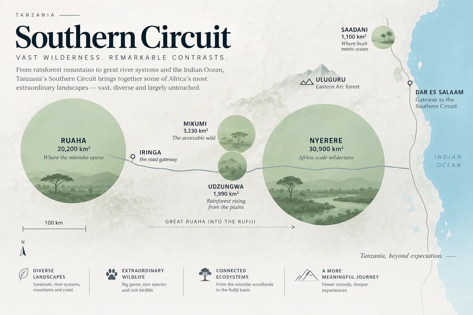
Nyerere and Ruaha together cover more than 50,000 km². Each is larger than the Serengeti National Park. That is the fact the south is organised around: the parks are far apart not because Tanzania is badly connected, but because they are enormous.
One river system ties the two together. The Great Ruaha runs east out of Ruaha, joins the Rufiji, and reaches the Indian Ocean through the delta below Nyerere. Two parks, one watershed, four hundred kilometres apart.
01Nyerere — the river decides
Gazetted in 2019 out of the northern part of the Selous, Nyerere covers almost 31,000 km² and is organised around the Rufiji. Channels, sandbanks and lakes mean a lot of the day is spent on a boat rather than in a vehicle, which changes the angle you see everything from — water level, not roof level.
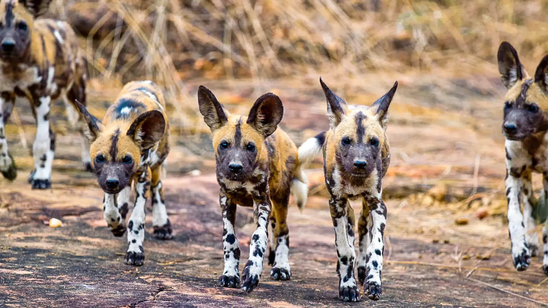
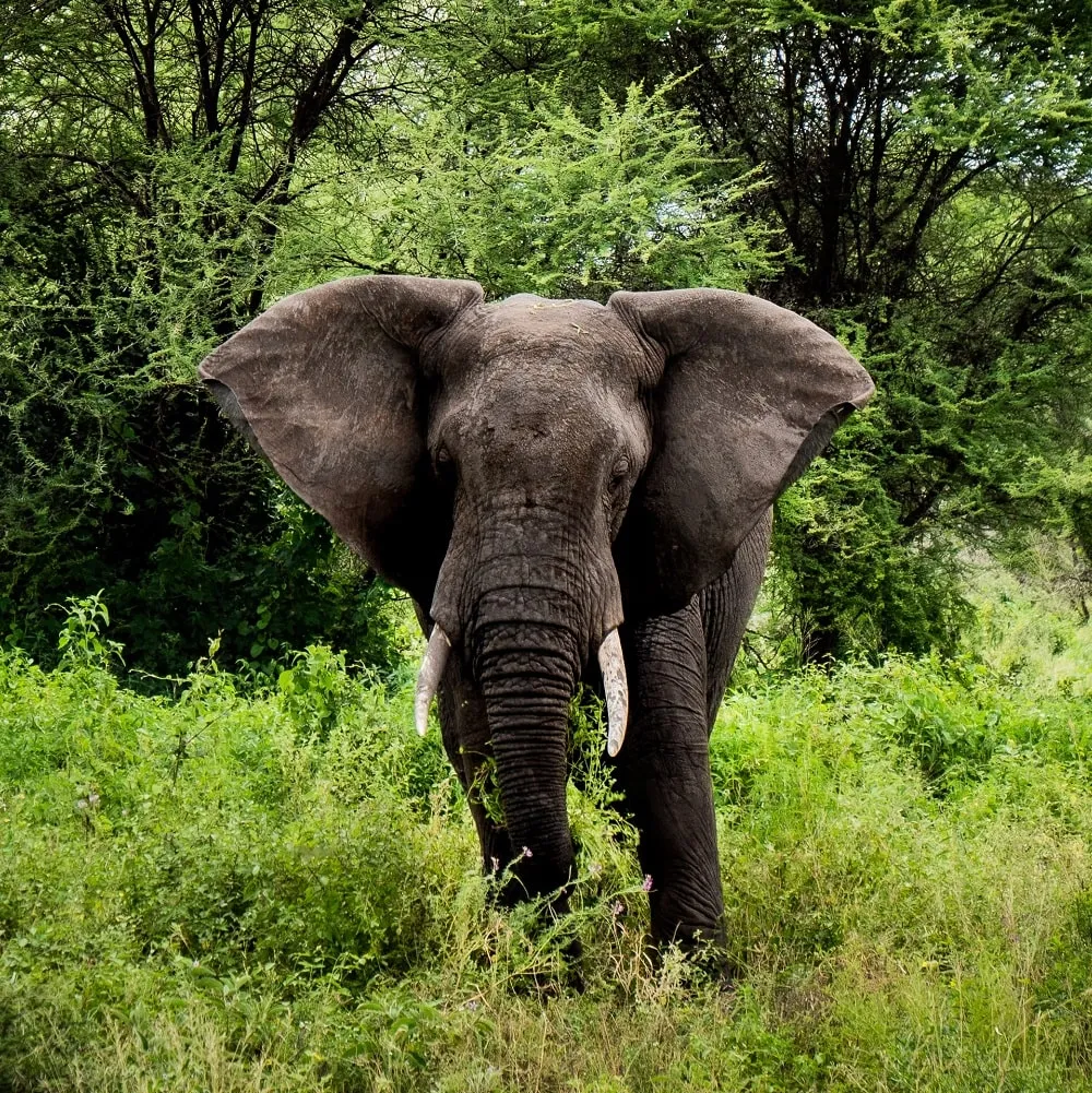
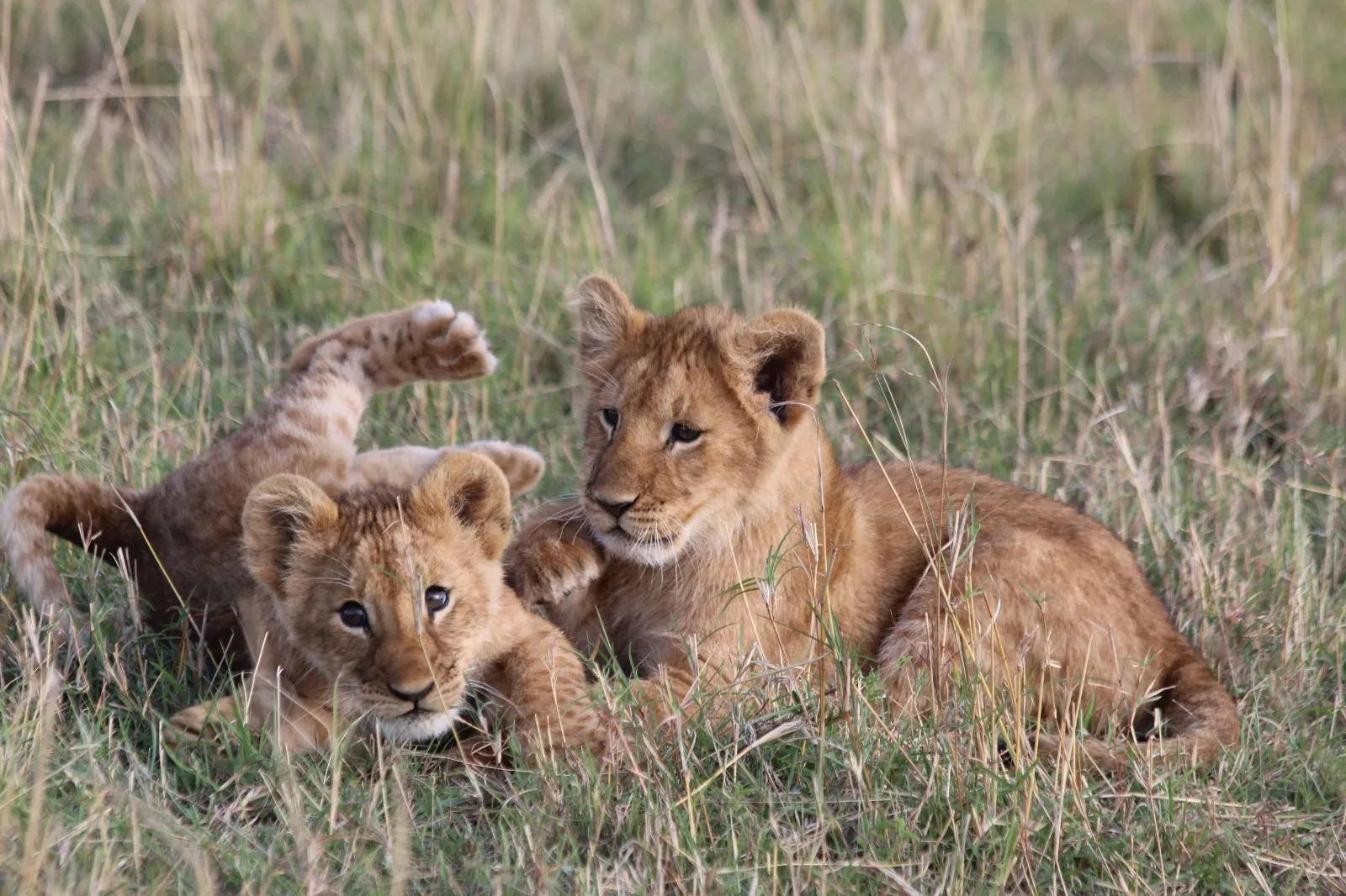
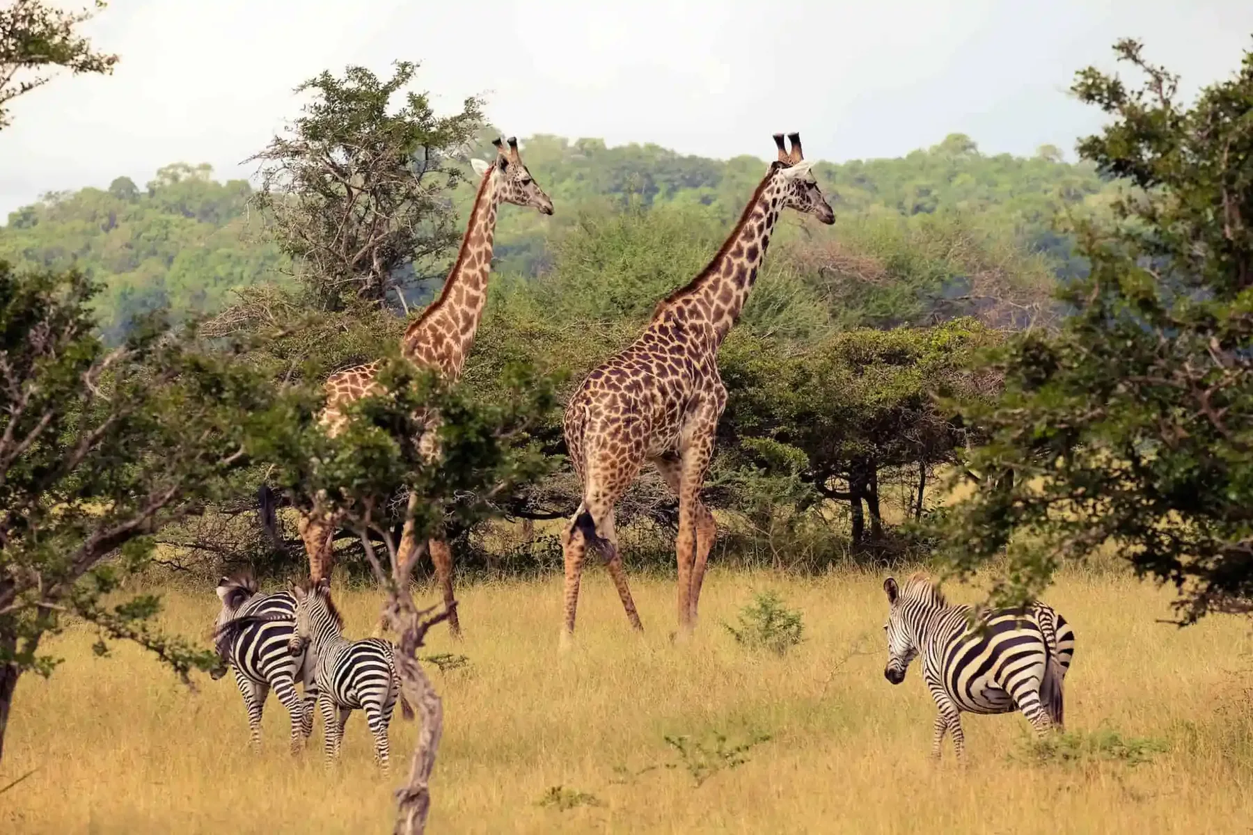
A boat sits about two metres lower than a vehicle. Everything on the bank is then at eye level, or above it.
02Ruaha — the deep end
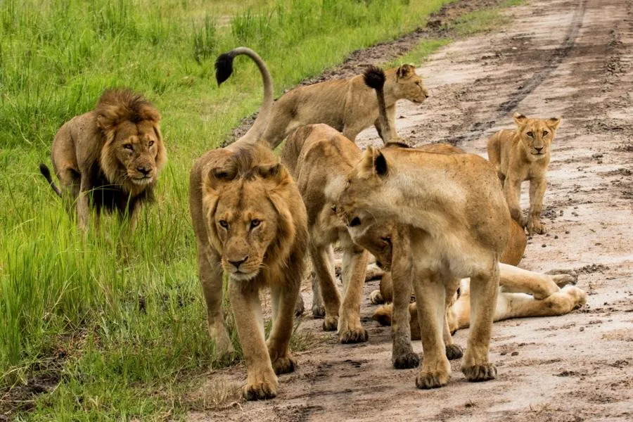
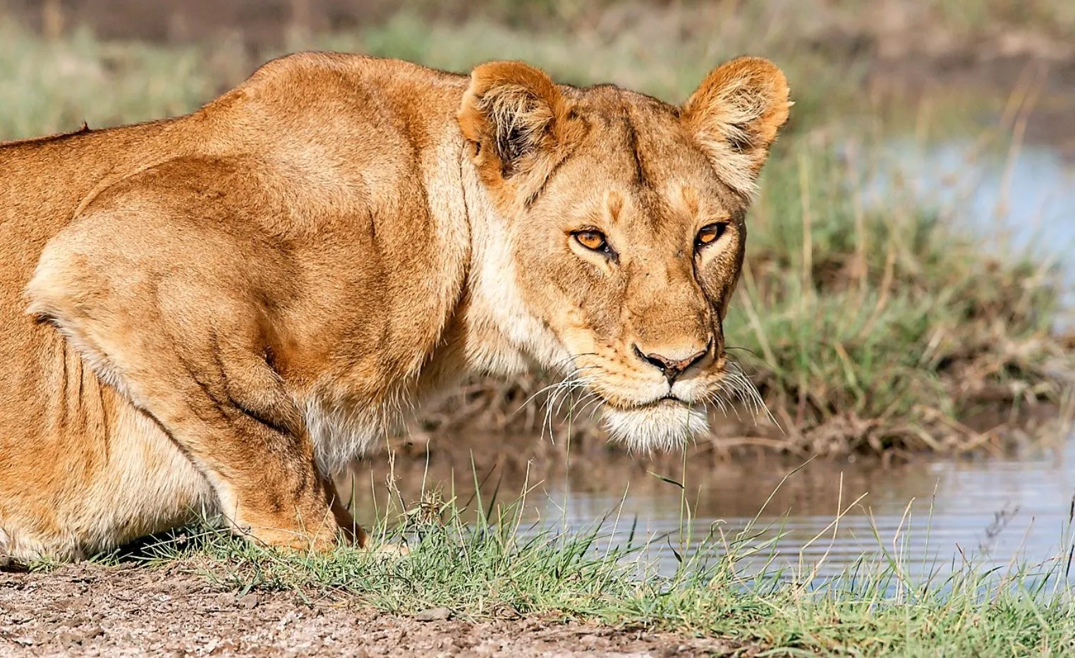
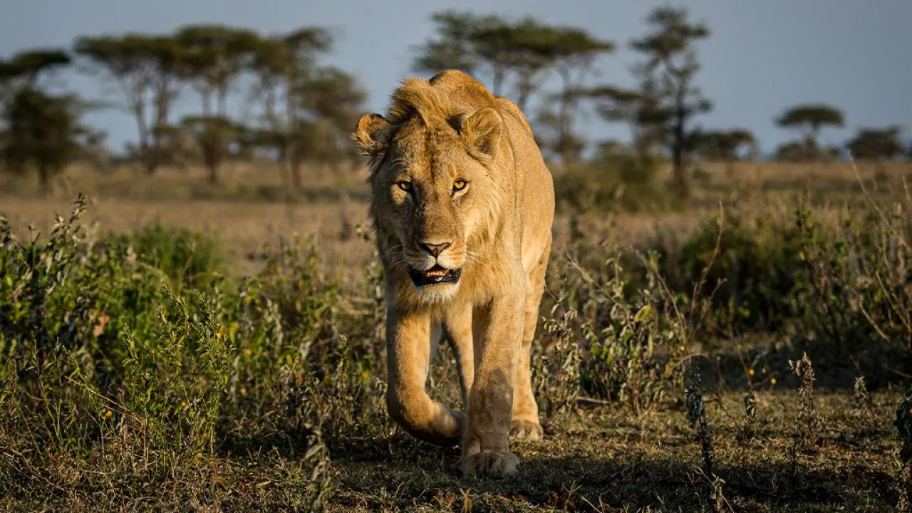
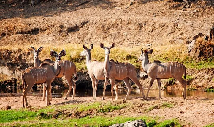
More than 20,000 km² where the miombo woodland of southern Africa runs into the acacia country of the east. That overlap is why both greater and lesser kudu live here, and why the bird list runs long.
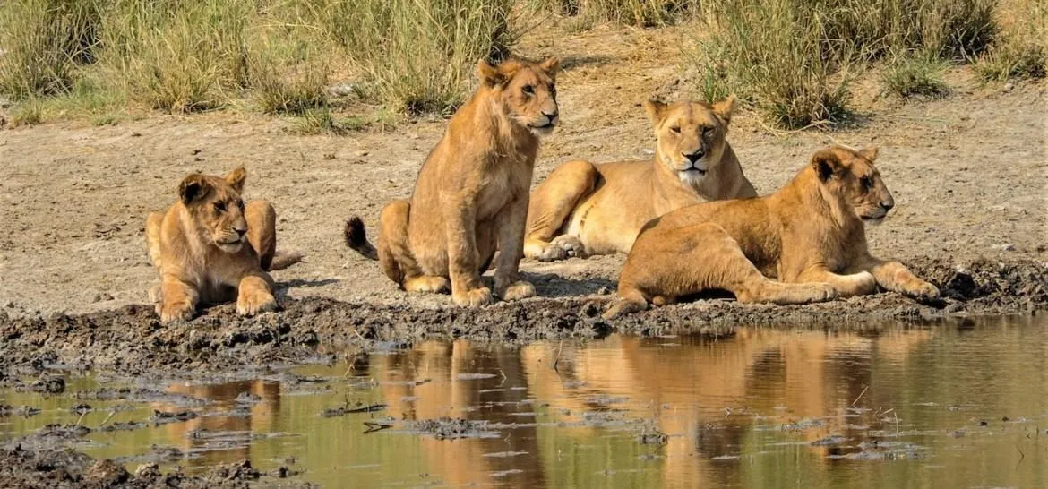
The Great Ruaha shrinks to sand through the dry season and the animals come to what pools are left. Upstream in the Usangu wetlands the river is drawn off for irrigation, which is why the flow now stops altogether in some years — the pools are not only a season, they are a water argument.
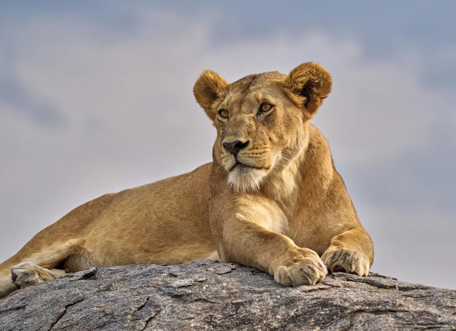
Vehicle traffic is thin enough that a sighting is usually yours alone.
03Udzungwa — the page turns green
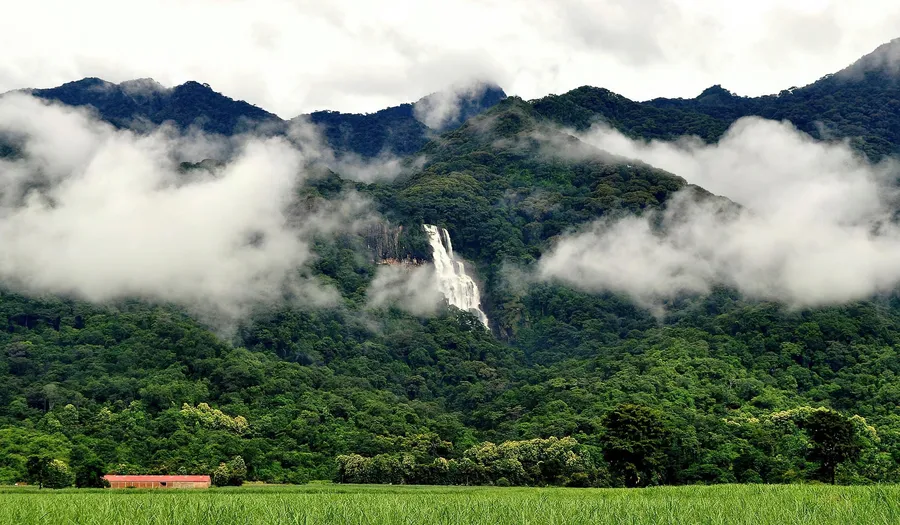
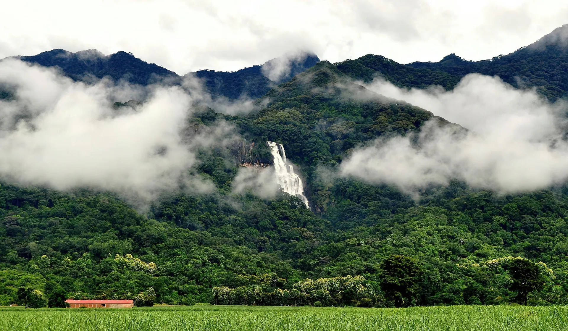
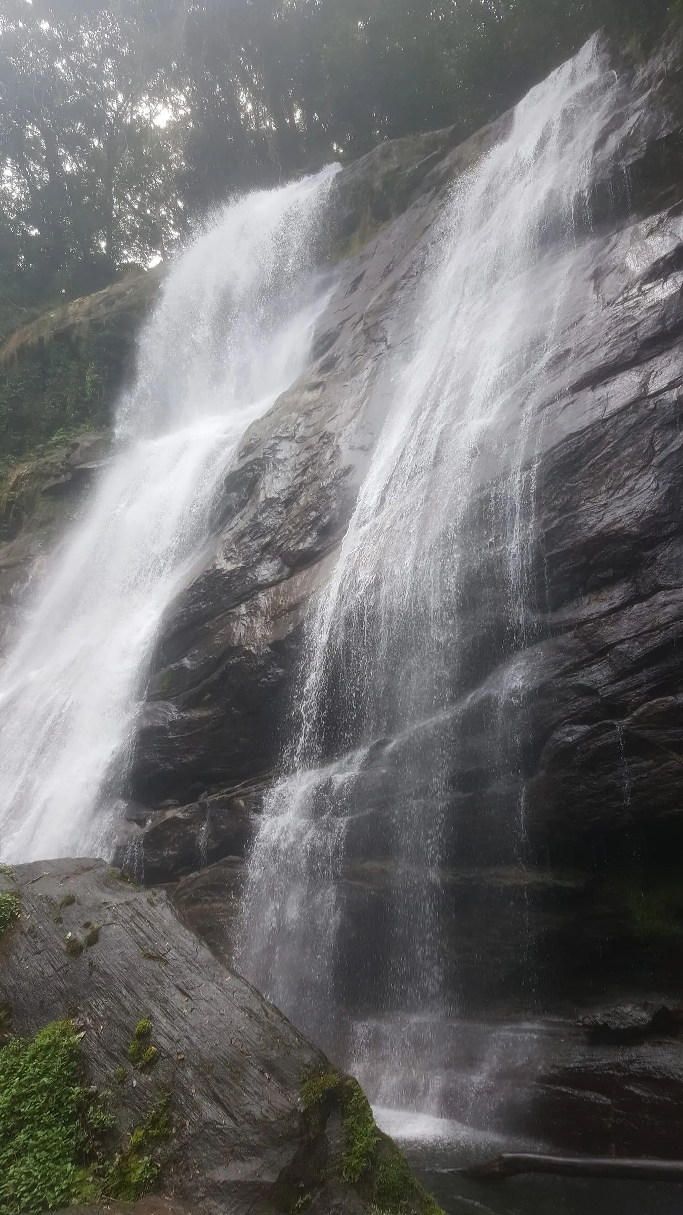
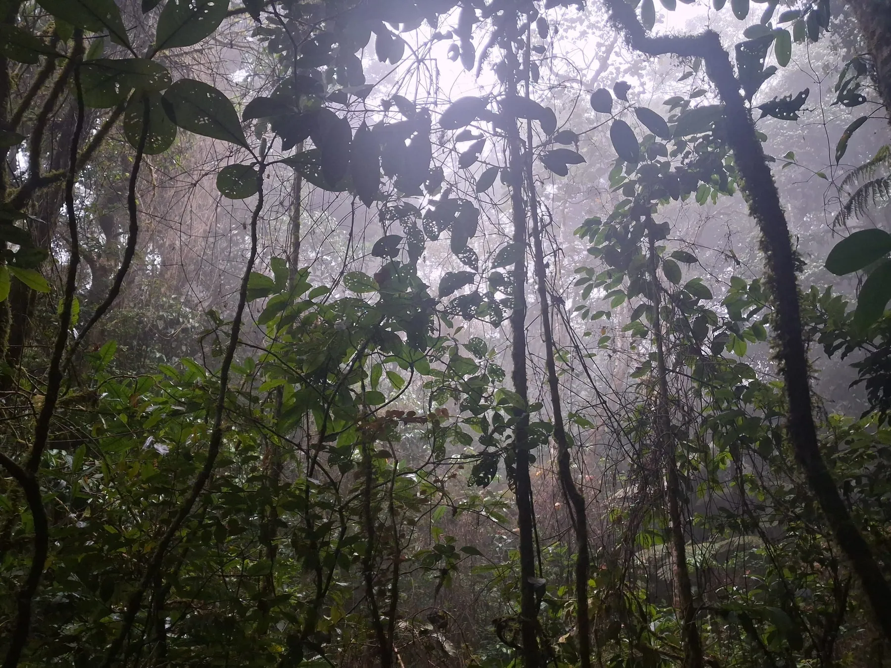
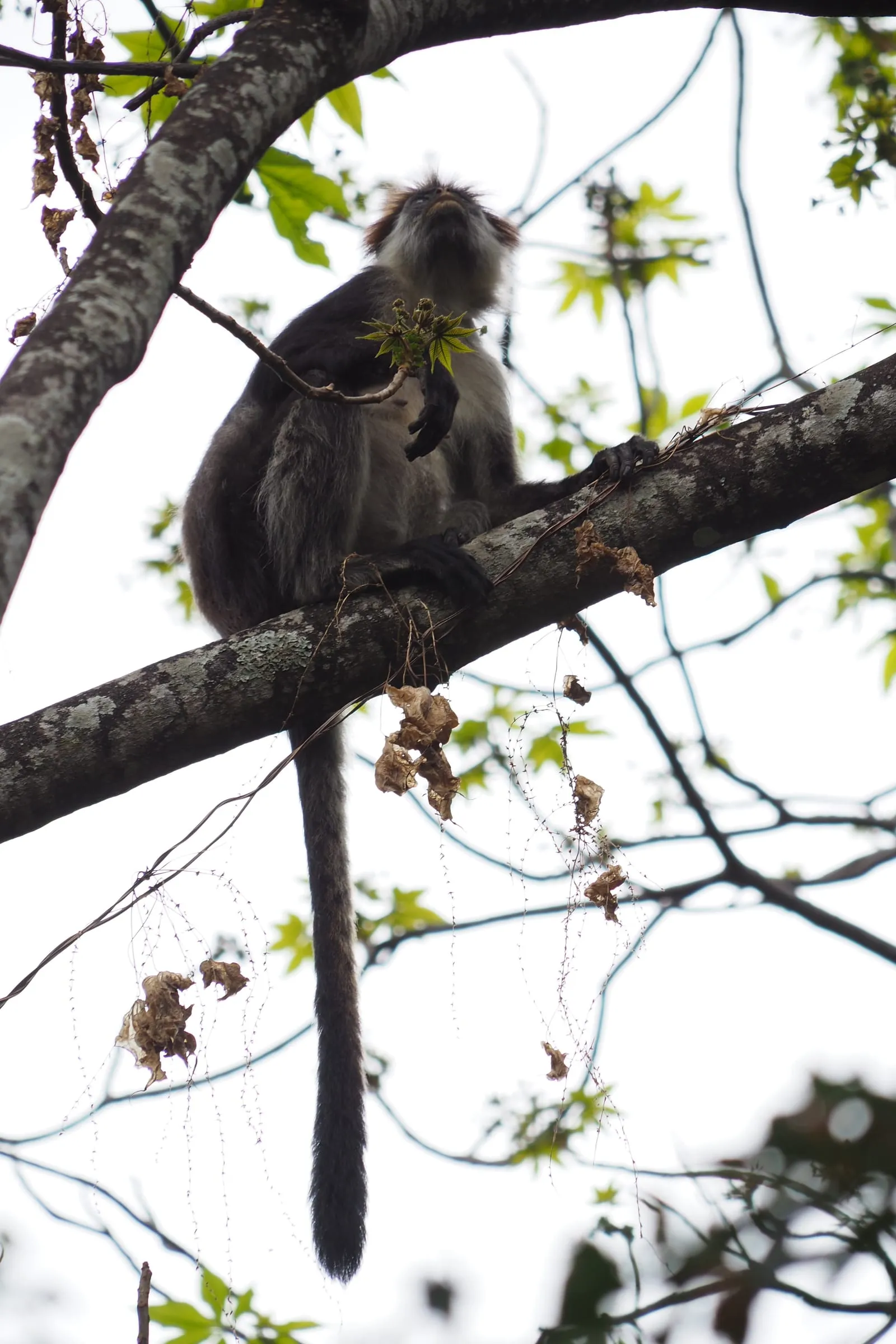
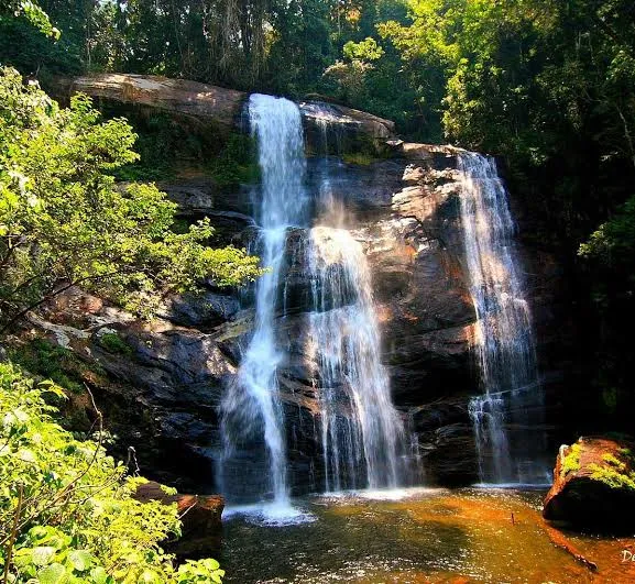
The Eastern Arc mountains have been forested long enough to evolve their own species. Two primates here — the Udzungwa red colobus and the Sanje mangabey — live nowhere else on earth. Sanje Falls drops around 170 m in three stages.
There is no road through the park, so every hour you spend inside it is walked. That is a different proposition from the two parks before it, and the reason people either love it or should skip it.
04Uluguru — the other Eastern Arc
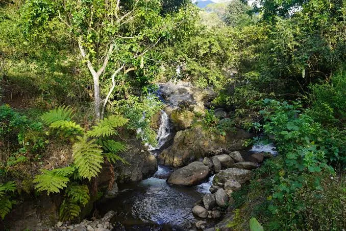
Three hours from Dar es Salaam, the Uluguru rise straight out of Morogoro to over two thousand metres. The lower slopes are terraced and farmed up to the forest edge; the forest that survives above them is old enough to hold species found on this massif and no other, including the Uluguru bush-shrike. Bondwa is the usual day's walk, and Choma waterfall the usual reason to keep going.
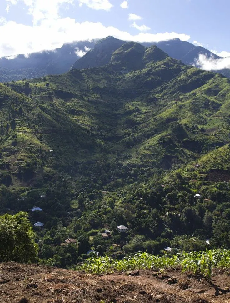
The line where the farming stops and the forest starts is the whole story of the Eastern Arc, and it is visible from the road.
05Mikumi — the one you can drive to
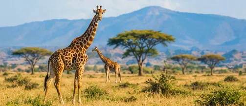
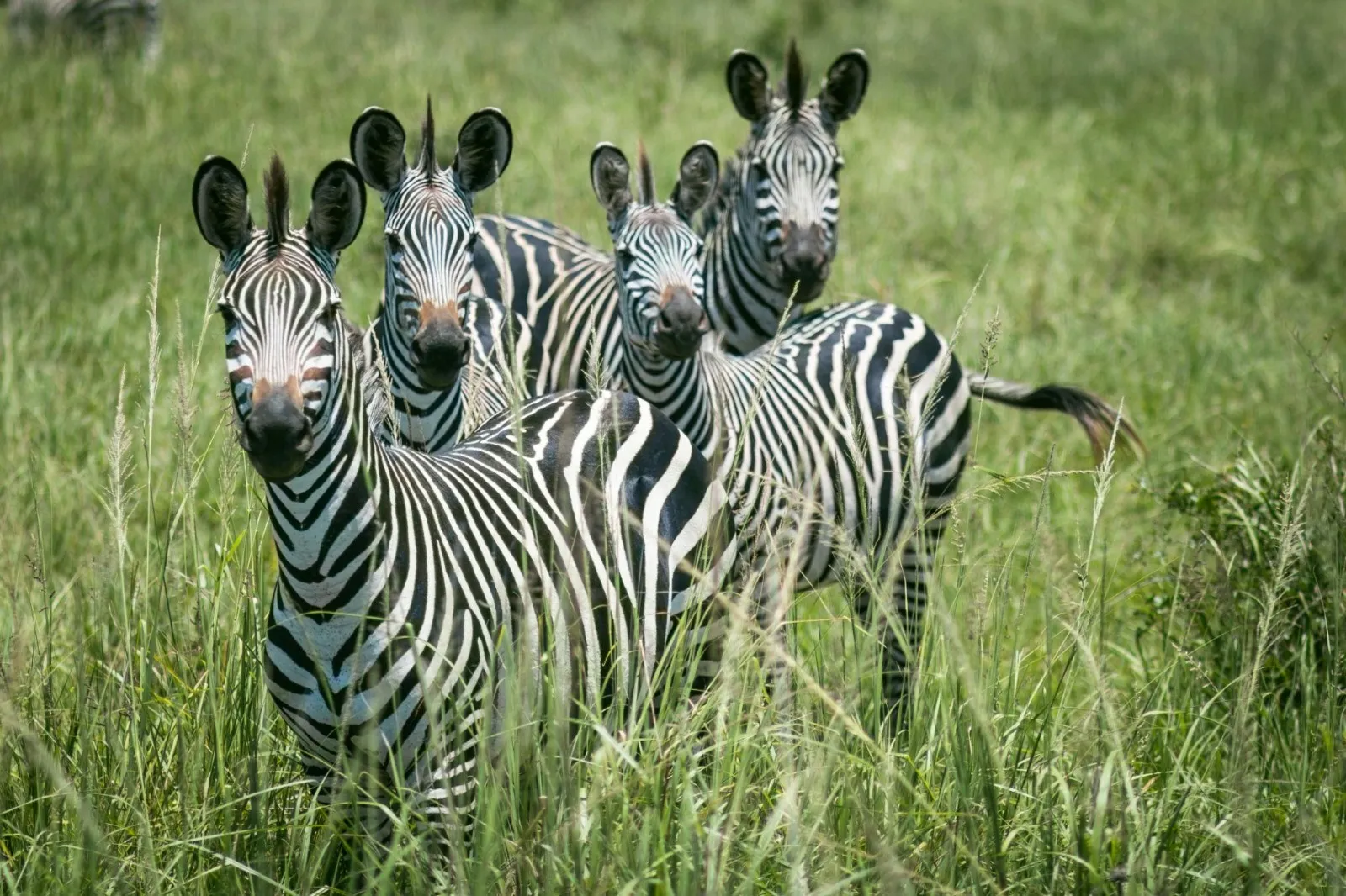
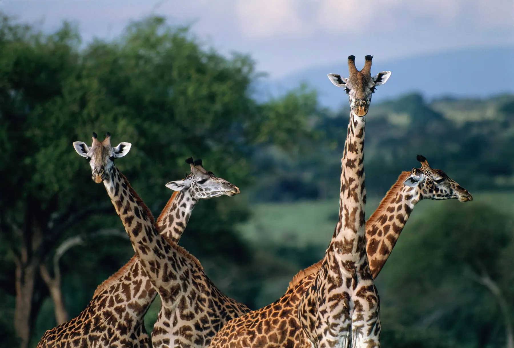
The easiest of the southern parks to reach from Dar es Salaam, by road or on the train. The Mkata floodplain gives it open, easy game viewing, which makes it a sensible first or last stop rather than the centre of a trip. Its southern boundary runs into Nyerere, so the animals treat the two as one place even though the map does not.
The highway to Zambia runs straight through the park. Its speed limits exist for a reason.
06Saadani — where it stops being land
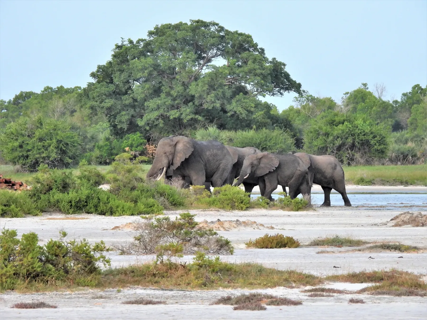
Saadani is the one Tanzanian national park that runs to the Indian Ocean. Buffalo and elephant use the beach; green turtles nest on it. The Wami River comes out through mangroves at the southern end, and you travel it by boat, past hippo and crocodile.
The village it is named for was a working port in the nineteenth century, on the inland caravan routes and the trade in people that used them. That history is not decoration, and it is why the place has a name older than the park.
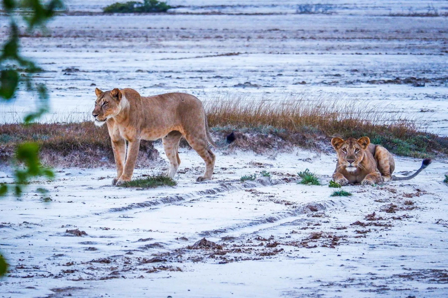
Routes that already run between these places, by air, by road and on the train. Any of them can be lengthened, shortened or rebuilt around the week you can travel.
7 days Move from open savannah and predator-rich plains into the rainforest trails and waterfalls of the Udzungwa Mountains — three landscapes, one road.
Wildlife & Hiking
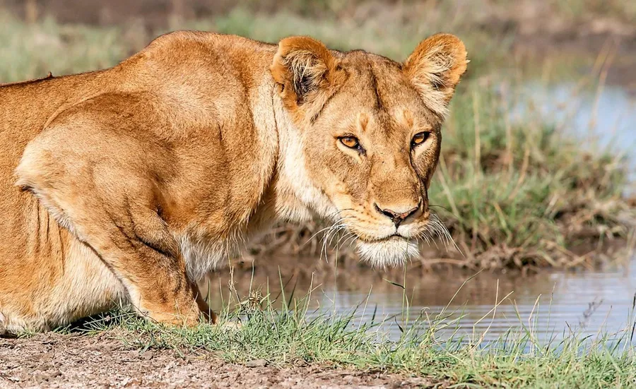 3 days
Fly in, and three days becomes three days in the park rather than two on the road. Day and night drives, and a walking safari before the flight home.
Wildlife
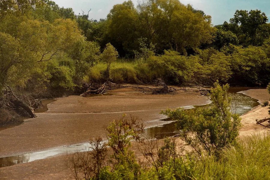 3 days
The middle Saadani option: a game drive, a morning on the Wami, a village visit, and a walk — with a whole afternoon spare for the beach.
Wildlife & Coast
Tell us how long you have, and we will work out which two of these it is worth flying between.
Copyright © 2026 Terra Tanganyika, All rights reserved. Photograph credits